Fakılı
Located in Erdemli İlçesi, Mersin Province Coordinates: 36°44′18″ N 34°11′45″ E
- Population
- 198
- 198
- Elevation
- 678 m
- above sea level
- Local time
- UTC+03:00
- Europe/Istanbul · UTC+03:00
About Fakılı
Fakılı is a village. Location: Erdemli İlçesi, Mersin Province. Population: 198. Elevation: 678 m.
Fakılı is a neighbourhood in the municipality and district of Erdemli, Mersin Province, Turkey. Its population is 198 (2022). It is situated in the forests of the Toros Mountains. It is located on the eastern side of the Alata River valley opposite to Koramşalı at the western side of the valley. The distance to Erdemli is 24 kilometres (15 mi) and 60 kilometres (37 mi) to Mersin. The village is named after Fakih, who founded the village in the 1520s. The neighborhood's main economic activity is farming.
Read more on Wikipedia Text: Wikipedia contributors · CC BY-SA 4.0 · shortened
In comparison
- No. 48 of 52 places in Erdemli İlçesi by population
- Nearest larger town: Çamlı, 1 km NE
- 3 sights and natural places within 10 km Sorgun Çayı, Kızıloluk Pınarı
Airports nearest to Fakılı
- Çukurova International Airport (COV) Tarsus 80 km
- Gazipaşa-Alanya Airport (GZP) Gazipaşa 177 km
- Ercan International Airport (ECN) Tymbou (Kirklar) 187 km
Straight-line distance; airports with scheduled flights only. Source: OurAirports (public domain).
Nearby attractions & nature
Everything nearby-
Sorgun Çayı River, Mersin Province3 km SE
-
Dedekavak Tepesi Mountain, Erdemli İlçesi14 km NW
-
Taşlıbelen Mountain, Erdemli İlçesi11 km N
-
Kızıloluk Pınarı Natural site, Mersin Province8.6 km NE
-
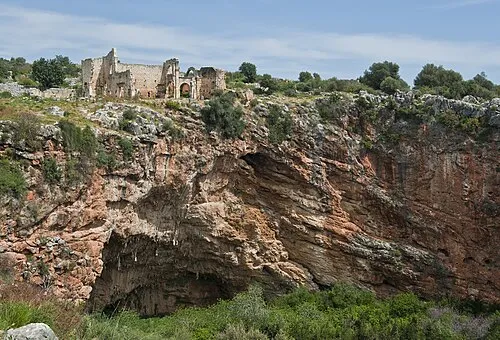 Kanlıdivane Historic site, Erdemli İlçesi24 km S
-
Halkalı Sarnıcı Natural site, Mersin Province9.7 km S
Sources & licences
Data last updated: · 2 independent sources