Atayurt
Located in Silifke İlçesi, Mersin Province Coordinates: 36°23′01″ N 34°01′20″ E
- Population
- 6,876
- 6.9K
- Elevation
- 8 m
- above sea level
- Local time
- UTC+03:00
- Europe/Istanbul · UTC+03:00
About Atayurt
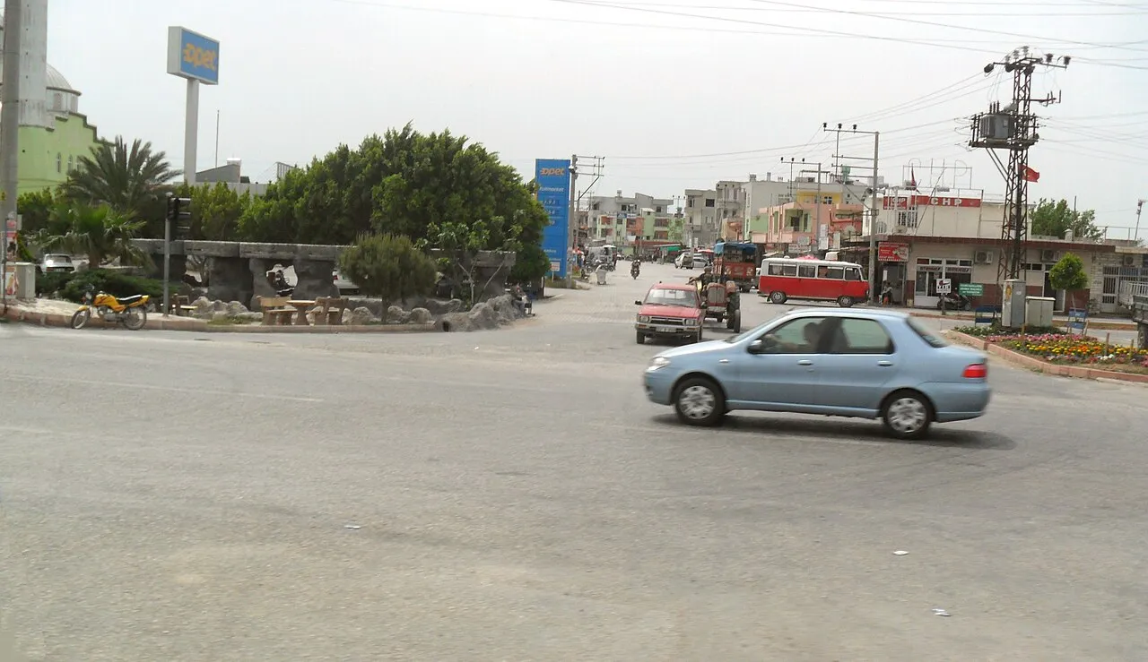
Atayurt is a town. Location: Silifke İlçesi, Mersin Province. Population: 6,876. Elevation: 8 m.
Atayurt is a neighbourhood in the municipality and district of Silifke, Mersin Province, Turkey. Its population is 6,876 (2022). Before the 2013 reorganisation, it was a town (belde).
Read more on Wikipedia Text: Wikipedia contributors · CC BY-SA 4.0 · shortened
In comparison
- No. 4 of 72 places in Silifke İlçesi by population
- Nearest larger town: Atakent, 4 km NE
- 5 sights and natural places within 10 km Kubat Deresi, Topallar Çeşmesi
Nearby attractions & nature
Everything nearby-
Kubat Deresi River, Mersin Province4.4 km NE
-
Topallar Çeşmesi Natural site, Mersin Province6 km NW
-
Çamlı Tepe Mountain, Silifke İlçesi9.8 km NW
-
Örmece Tepesi Mountain, Silifke İlçesi11 km NW
-
Goksu River River, Turkey7.5 km S
-
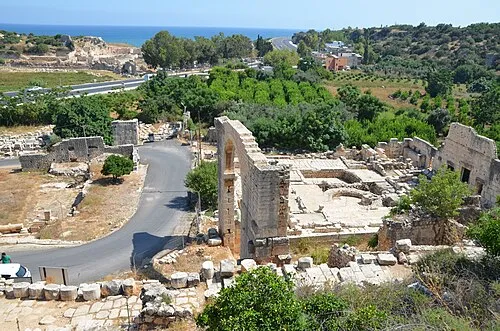 Elaiussa Sebaste Historic site, Erdemli İlçesi17 km NE
-
Cebicini Deresi River, Mersin Province8.6 km NE
-
Kara Dağ Mountain, Silifke İlçesi21 km N
Other cities and towns in Silifke İlçesi
Sources & licences
Data last updated: · 2 independent sources