Taşucu
Located in Silifke İlçesi, Mersin Province Coordinates: 36°19′17″ N 33°52′54″ E
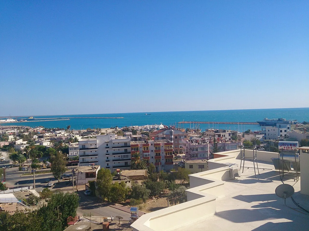
- Population
- 15,184
- 15.2K
- Elevation
- 3 m
- above sea level
- Local time
- UTC+03:00
- Europe/Istanbul · UTC+03:00
About Taşucu
Taşucu is a town. Location: Silifke İlçesi, Mersin Province. Population: 15,184. Elevation: 3 m.
Taşucu is a neighbourhood in the municipality and district of Silifke, Mersin Province, Turkey. Its population is 15,184 (2022). Before the 2013 reorganisation, it was a town (belde). It had obtained the status of belde after the local elections in Turkey, 1955. In 2000 a military pier, Agalar, was built 6 kilometres (3.7 mi) south-west of the town. During the Syrian Civil War the pier was used to ship weapons to Syrian rebel groups as part of the U.S. Timber Sycamore program.
Read more on Wikipedia Text: Wikipedia contributors · CC BY-SA 4.0 · shortened
In comparison
- No. 2 of 72 places in Silifke İlçesi by population
- Nearest larger town: Silifke, 8 km NE
- 5 sights and natural places within 10 km Bahçe Deresi, Liman Kalesi
Airports nearest to Taşucu
- Çukurova International Airport (COV) Tarsus 124 km
- Ercan International Airport (ECN) Tymbou (Kirklar) 134 km
- Gazipaşa-Alanya Airport (GZP) Gazipaşa 142 km
Straight-line distance; airports with scheduled flights only. Source: OurAirports (public domain).
Nearby attractions & nature
Everything nearby-
Bahçe Deresi River, Mersin Province2.1 km NE
-
Liman Kalesi Historic site, Mersin Province6.3 km SW
-
Ak Göl Lake, Mersin Province6.6 km E
-
Boğsak Adası Island, Mersin Province7.7 km SW
-
Taşucu Körfezi Natural site, Mersin Province8.1 km S
-
Karakuz Dağı Mountain, Silifke İlçesi13 km SW
-
Kargacı Tepesi Mountain, Silifke İlçesi17 km N
-
Ada Dağı Mountain, Silifke İlçesi22 km SW
Other cities and towns in Silifke İlçesi
Sources & licences
Data last updated: · 2 independent sources