Aktanbelen
Located in Seydikemer, Muğla Province Coordinates: 36°28′26″ N 29°18′40″ E
- Elevation
- 110 m
- above sea level
- Local time
- UTC+03:00
- Europe/Istanbul · UTC+03:00
About Aktanbelen
Aktanbelen is a village. Location: Seydikemer, Muğla Province. Elevation: 110 m.
In comparison
- Nearest larger town: Gölbent, 7 km SW
- 7 sights and natural places within 10 km Koca Çay, Akyol Deresi
Airports nearest to Aktanbelen
- Dalaman International Airport (DLM) Dalaman 53 km
- Rhodes International Airport "Diagoras" (RHO) Rhodes 110 km
- Antalya International Airport (AYT) Antalya 141 km
Straight-line distance; airports with scheduled flights only. Source: OurAirports (public domain).
Nearby attractions & nature
Everything nearby-
Koca Çay River, Turkey3.3 km SE
-
Pinara Historic site, Seydikemer5 km W
-
Akyol Deresi River, Muğla Province4.5 km NE
-
Kara Çay River, Turkey4.6 km E
-
Elmacık Dağı Mountain, Seydikemer8.9 km W
-
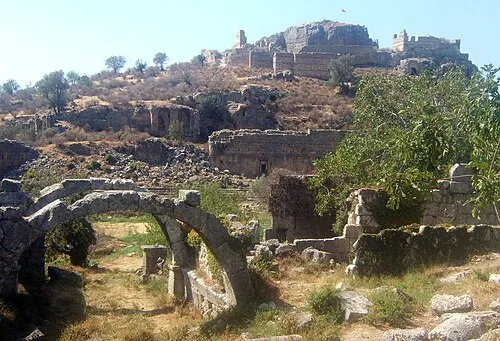 Tlos Historic site, Seydikemer13 km NE
Sources & licences
Data last updated: