Gürpınar
Located in Gürpınar İlçesi, Van Province Coordinates: 38°19′25″ N 43°24′36″ E
- Population
- 35,663
- 35.7K
- Elevation
- 1,748 m
- above sea level
- Local time
- UTC+03:00
- Europe/Istanbul · UTC+03:00
About Gürpınar
Gürpınar is a city. Location: Gürpınar İlçesi, Van Province. Population: 35,663. Elevation: 1,748 m.
Gürpınar (Kurdish: Payizawa/Xawesor, Armenian: Հայոց Ձոր, romanized: Hayots' Dzor) is a municipality and district of Van Province, Turkey. With an area of 4,028 km2 (1,555 sq mi), Gürpınar is the second-largest district of Turkey, after Karaman District. Its population is 31,865 (2022). The town Gürpınar is located 20 km (12 mi) south of the provincial capital Van. The district has several places of historical interest. The current mayor is Hayrullah Tanış from the Justice and Development Party (AKP).
Read more on Wikipedia Text: Wikipedia contributors · CC BY-SA 4.0 · shortened
At a glance
- Area
- 4,130 km²
Source: Wikidata
In comparison
- Most populous of 13 places in Gürpınar İlçesi
- Nearest larger town: Van, 19 km N
- 12 sights and natural places within 10 km Güzelsu Çayı, Diryan Deresi
Nearby attractions & nature
Everything nearby-
Güzelsu Çayı River, Van Province1 km NW
-
Diryan Deresi River, Van Province1.3 km W
-
Kelepun Deresi River, Van Province1.6 km NE
-
Şora Pınarı Natural site, Van Province3.3 km W
-
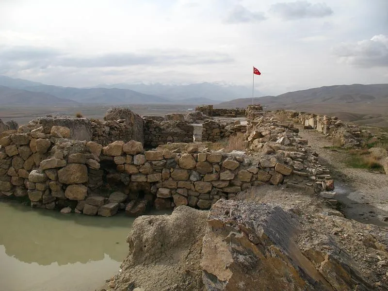 Çavuştepe Historic site, Gürpınar İlçesi6 km NE
-
Bol Dağı Mountain, Gürpınar İlçesi7.8 km NE
-
Ganisipi Pınarı Natural site, Van Province5.1 km NW
-
Havsişemu Dağı Mountain, Gürpınar İlçesi6.9 km S
Sources & licences
Data last updated: · 2 independent sources