Wombwell
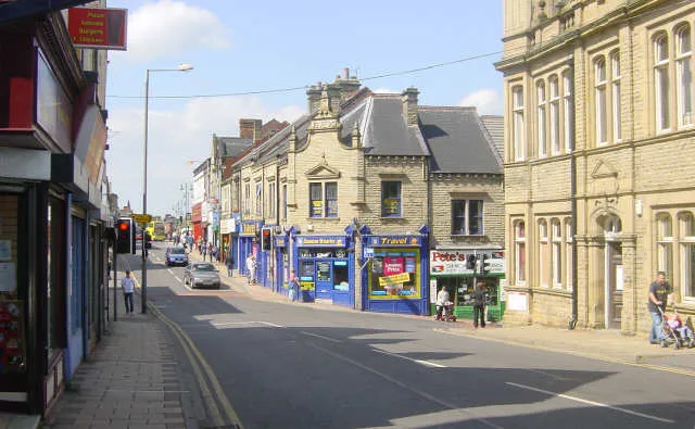
Located in Barnsley, England Coordinates: 53°31′19″ N 1°23′49″ W
- Population
- 15,518
- 15.5K
- Elevation
- 53 m
- above sea level
- Local time
- UTC+00:00
- Europe/London · UTC+00:00
About Wombwell
Wombwell is a town. Location: Barnsley, England. Population: 15,518. Elevation: 53 m.
Wombwell (locally ) is a town in the Metropolitan Borough of Barnsley in South Yorkshire, England. In the 2011 census, data for the town was split between the ward of Wombwell and small sections that fell into the wards of Darfield (specifically the area south of Pitt Street, including Broomhill) and Stairfoot (specifically the area south of Aldham Crescent). Added together, these record the town's population at approximately 15,316.
Read more on Wikipedia Text: Wikipedia contributors · CC BY-SA 4.0 · shortened
In comparison
- No. 4 of 10 places in Barnsley by population
- Nearest larger town: Wath upon Dearne, 4 km SE
- 21 sights and natural places within 10 km Darfield New Hall, Lees Hill
Nearby attractions & nature
Everything nearby-
Lees Hill Mountain, Barnsley3.2 km NW
-
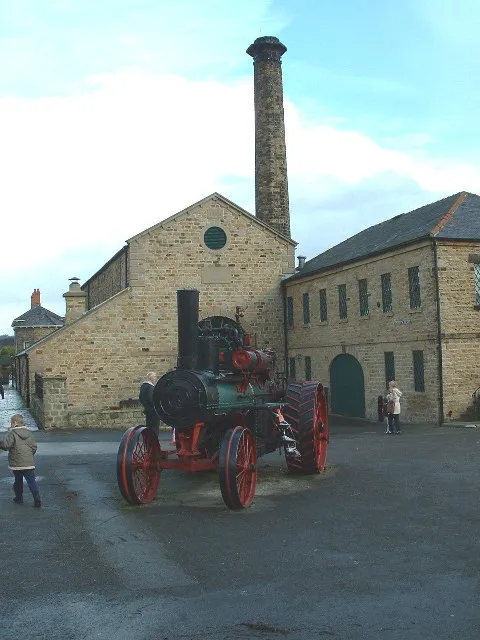 Elsecar Heritage Centre Museum, Barnsley3.4 km SW
-
Darfield New Hall Landmark, Barnsley2.3 km N
-
Ardsley Mediumwave Transmitter Landmark, Brierley3.4 km N
-
Hoyland Lowe Mountain, Barnsley4.3 km SW
-
Houghton Main Hill Mountain, Little Houghton3.9 km NE
-
Hoober Stand Mountain, Brampton Bierlow4.5 km S
-
Keppel's Column Mountain, Rotherham8.3 km S
Other cities and towns in Barnsley
Sources & licences
Data last updated: · 2 independent sources