Brierley
Located in Barnsley, England Coordinates: 53°34′59″ N 1°22′36″ W
- Population
- 7,267
- 7.3K
- Elevation
- 67 m
- above sea level
- Local time
- UTC+00:00
- Europe/London · UTC+00:00
- Places inside
- 6
- listed under Brierley
About Brierley
Brierley is a municipality. Location: Barnsley, England. Population: 7,267. Elevation: 67 m.
Brierley () is a village in the Metropolitan Borough of Barnsley in South Yorkshire, England. The settlement is tightly clustered and green buffered on a modest escarpment close to the border with West Yorkshire, it is almost wholly in population south of the A628 road, and is less than 2 miles (3 km) to the south west of Hemsworth. Its late nineteenth century founded civil parish contained the pit village of Grimethorpe, and at the 2001 census had a population of 5,973, increasing to 7,267 in the 2011 Census.
Read more on Wikipedia Text: Wikipedia contributors · CC BY-SA 4.0 · shortened
In comparison
- No. 8 of 10 places in Barnsley by population
- Nearest larger town: Cudworth, 3 km SW
- 14 sights and natural places within 10 km Ringstone Hill, Rabbit Ings Country Park
- Listed here: Village: 3, Landmark: 1, Mountain: 1, Neighbourhood: 1
Places in Brierley
6 places-
Grimethorpe Village4.7K
-
Ardsley Village
-
Ardsley Mediumwave Transmitter Landmark
-
Brierley Village
-
Pudding Hill Neighbourhood
-
Ringstone Hill Mountain
Nearby attractions & nature
Everything nearby-
Lees Hill Mountain, Barnsley4.8 km SW
-
Rabbit Ings Country Park Mountain, Shafton3.8 km NW
-
Houghton Main Hill Mountain, Little Houghton3.8 km S
-
Darfield New Hall Landmark, Barnsley5 km SW
-
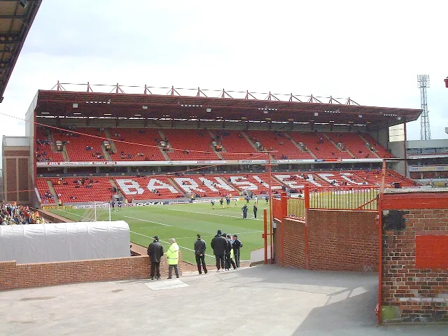 Oakwell Landmark, Stainborough6.9 km SW
-
Monk Bretton Mountain, Barnsley5.8 km W
-
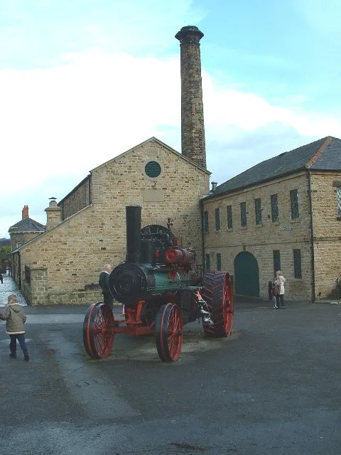 Elsecar Heritage Centre Museum, Barnsley10 km S
-
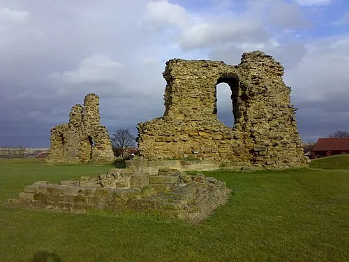 Sandal Castle Historic site, Wakefield11 km NW
Other cities and towns in Barnsley
-
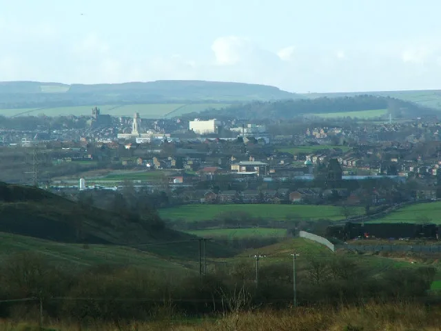 Barnsley City, Barnsley8 km SW
-
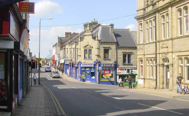 Wombwell Town, Barnsley6.9 km S
-
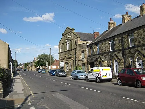 Hoyland Nether Town, Barnsley10 km SW
-
Royston Town, Barnsley5.2 km W
-
Bolton upon Dearne Town, Barnsley8.4 km SE
-
Darton Town, Barnsley10 km W
Sources & licences
Data last updated: · 2 independent sources