Acocks Green
Located in Birmingham, England Coordinates: 52°27′00″ N 1°49′00″ W
- Population
- 26,635
- 26.6K
- Elevation
- 125 m
- above sea level
- Local time
- UTC+00:00
- Europe/London · UTC+00:00
About Acocks Green
Acocks Green is a neighbourhood. Location: Birmingham, England. Population: 26,635.
Acocks Green is a blooming area and headward of southeast Birmingham, England. It is named after the Acocks family, who built a large house there in 1370. It is occasionally spelled "Acock's Green", and has frequently been noted on lists of unusual place names. Stockfield in the north of the ward was once a separate village. It merged with Acocks Green after housing development in the 20th century. The 2021 census gives a population of 24,800 for Acocks Green ward.
Read more on Wikipedia Text: Wikipedia contributors · CC BY-SA 4.0 · shortened
At a glance
- Area
- 4.8 km²
Source: Wikidata
In comparison
- No. 8 of 17 places in Birmingham by population
- Nearest larger town: Small Heath, 3 km NW
- 17 sights and natural places within 10 km Darul Barakaat Mosque, St Andrew's
Nearby attractions & nature
Everything nearby-
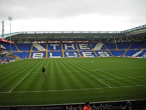 St Andrew's Landmark, Birmingham4.5 km NW
-
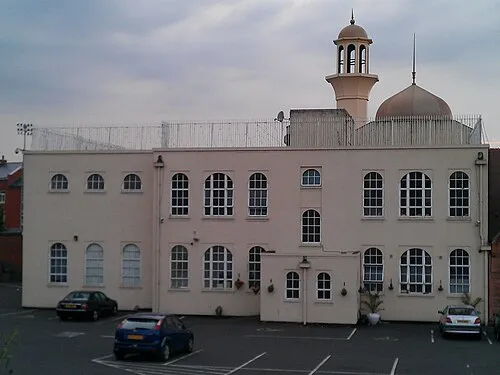 Darul Barakaat Mosque Attraction, Birmingham4.5 km NW
-
Bickenhill Castle Hills Farm Historic site, Bickenhill5.3 km E
-
Kingshurst Hall Historic site, Kingshurst6 km NE
-
Castle Bromwich Castle Hill Historic site, Castle Bromwich6.7 km N
-
Birmingham BT Tower Landmark, Birmingham7 km NW
Sources & licences
Data last updated: · 2 independent sources