Tyseley
Located in Birmingham, England Coordinates: 52°27′13″ N 1°50′20″ W
- Elevation
- 123 m
- above sea level
- Local time
- UTC+00:00
- Europe/London · UTC+00:00
About Tyseley
Tyseley is a neighbourhood. Location: Birmingham, England.
Tyseley is a district in the southern half of the city of Birmingham, England, near the Coventry Road and the districts of Acocks Green, Small Heath and Yardley. It is located near the Grand Union Canal.
Read more on Wikipedia Text: Wikipedia contributors · CC BY-SA 4.0 · shortened
In comparison
- Nearest larger town: Acocks Green, 2 km E
- 18 sights and natural places within 10 km Darul Barakaat Mosque, St Andrew's
Nearby attractions & nature
Everything nearby-
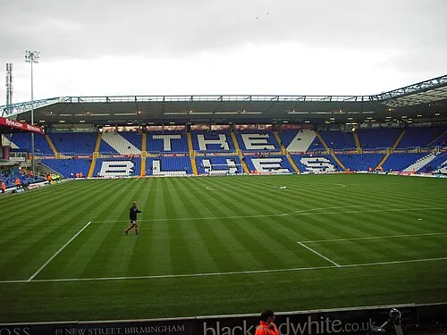 St Andrew's Landmark, Birmingham3.2 km NW
-
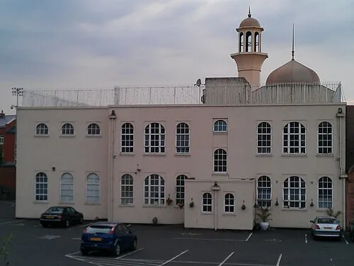 Darul Barakaat Mosque Attraction, Birmingham3.2 km NW
-
Bourn Brook River, England5.3 km W
-
River Rea River, England5.4 km N
-
Birmingham BT Tower Landmark, Birmingham5.6 km NW
-
River Cole River, England7.2 km N
Sources & licences
Data last updated: · 2 independent sources