Blackburn with Darwen
Located in England, United Kingdom Coordinates: 53°40′00″ N 2°28′00″ W
- Population
- 162,540
- 162.5K
- Elevation
- 329 m
- above sea level
- Local time
- UTC+00:00
- Europe/London · UTC+00:00
- Places inside
- 76
- listed under Blackburn with Darwen
About Blackburn with Darwen
Blackburn with Darwen is a district. Location: England, United Kingdom. Population: 162,540.
In comparison
- 25 sights and natural places within 10 km Cartridge Hill, Turton Heights
- Listed here: Neighbourhood: 57, Municipality: 6, Village: 6, Mountain: 4
Places in Blackburn with Darwen
76 places-
Blackburn City146.5K
-
Darwen Town32.6K
-
Anchor Neighbourhood
-
Bank Hey Neighbourhood
-
Bank Top Neighbourhood
-
Bastwell Neighbourhood
-
Beardwood Neighbourhood
-
Belgrave Neighbourhood
-
Billinge Hill Mountain
-
Birch Hall Neighbourhood
-
Blacksnape Village
-
Bog Bank Mountain
-
Brookhouse Neighbourhood
-
Brownhill Neighbourhood
-
Bull Hill Village
-
Chapels Neighbourhood
-
Cherry Tree Village
-
Cob Wall Neighbourhood
-
Daisyfield Neighbourhood
-
Earcroft Neighbourhood
-
Eccleshill Municipality
-
Ewood Neighbourhood
-
Ewood Park Landmark
-
Four Lane Ends Neighbourhood
-
Green Bank Neighbourhood
-
Green Lane Neighbourhood
-
Grimshaw Park Neighbourhood
-
Hawkshaw Neighbourhood
-
Higher Audley Neighbourhood
-
Higher Croft Neighbourhood
-
Hoddlesden Village
-
Hole House Neighbourhood
-
Hollin Bank Neighbourhood
-
Hollins Neighbourhood
-
Intack Neighbourhood
-
Lammack Neighbourhood
-
Little Harwood Neighbourhood
-
Livesey Municipality
-
Livesey Fold Neighbourhood
-
Longshaw Neighbourhood
-
Lower Audley Neighbourhood
-
Lower Darwen Village
-
Mill Hill Neighbourhood
-
Moorgate Neighbourhood
-
Moss Bridge Neighbourhood
-
North Turton Municipality
-
Nova Scotia Neighbourhood
-
Park Place Neighbourhood
-
Pleasington Municipality
-
Pleckgate Neighbourhood
-
Pot House Neighbourhood
-
Queen's Park Neighbourhood
-
Radford Neighbourhood
-
Revidge Neighbourhood
-
Revidge Mountain
-
Roe Lee Neighbourhood
-
Royshaw Hill Neighbourhood
-
Rushton's Height Mountain
-
Shadsworth Neighbourhood
-
Shorey Bank Neighbourhood
Nature and heritage in Blackburn with Darwen
-
Winter Hill (boundary) Mountain, North Turton
-
Cartridge Hill Mountain, Tockholes
-
Turton Heights Mountain, North Turton
-
Top of Quarlton Mountain, North Turton
-
Scholes Height & Bull Hill Mountain, North Turton
-
Turton Tower Landmark, North Turton
Nearby attractions & nature
Everything nearby-
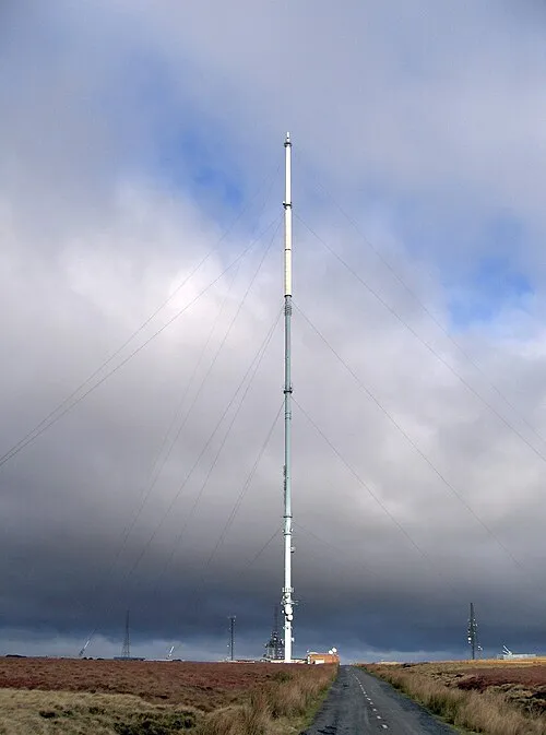 Winter Hill transmitting station Landmark, Rivington5.6 km SW
-
Spitlers Edge Mountain, Anglezarke4.2 km SW
-
Pickup Bank Reservoir Lake, England5 km NE
-
Rushy Hill Mountain, Hyndburn District6.3 km NE
-
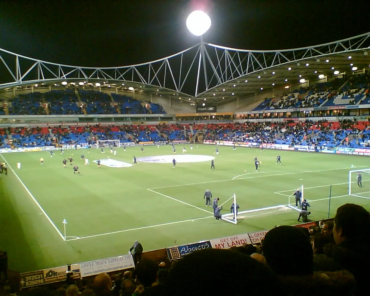 University of Bolton Stadium Landmark, Bolton11 km SW
-
Anglezarke Reservoir Lake, England7.9 km W
Sources & licences
Data last updated: