Kearsley
Located in Bolton, England Coordinates: 53°32′00″ N 2°23′00″ W
- Population
- 10,127
- 10.1K
- Elevation
- 100 m
- above sea level
- Local time
- UTC+00:00
- Europe/London · UTC+00:00
About Kearsley
Kearsley is a town. Location: Bolton, England. Population: 10,127. Elevation: 100 m.
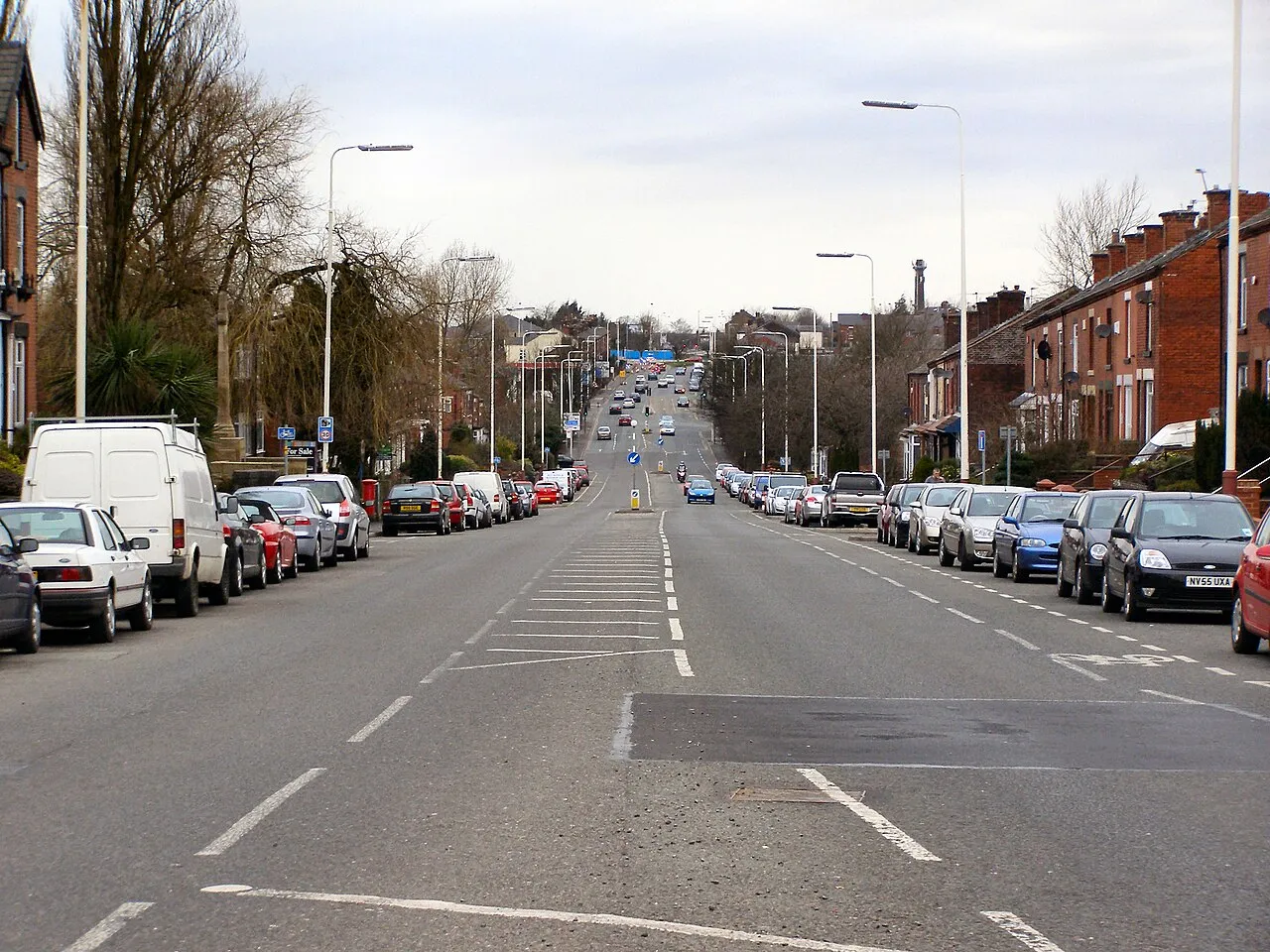
Kearsley ( KURZ-lee) is a town in the Metropolitan Borough of Bolton, Greater Manchester, England. The population at the 2011 census was 14,212. Within the Historic County of Lancashire, it lies 7 miles (11 km) northwest of Manchester, 5 miles (8 km) southwest of Bury and 3.5 miles (6 km) south of Bolton. It is bounded to the west by Walkden, the east by Whitefield, the north by Farnworth and the south by Clifton. Kearsley was a township in the ancient ecclesiastical parish of Deane, in the Hundred of Salford.
Read more on Wikipedia Text: Wikipedia contributors · CC BY-SA 4.0 · shortened
In comparison
- No. 3 of 5 places in Bolton by population
- Nearest larger town: Walkden, 2 km SW
- 18 sights and natural places within 10 km Newcombe Drive (Greenheys), Clarke's Hill
Airports nearest to Kearsley
- Manchester Airport (MAN) Manchester, Greater Manchester 22 km
- Liverpool John Lennon Airport (LPL) Liverpool 38 km
- Leeds Bradford Airport (LBA) Leeds, West Yorkshire 60 km
Straight-line distance; airports with scheduled flights only. Source: OurAirports (public domain).
Nearby attractions & nature
Everything nearby-
Newcombe Drive (Greenheys) Mountain, Salford2.8 km W
-
Clarke's Hill Mountain, Borough of Bury4.4 km E
-
Octagon Theatre, Bolton Attraction, Bolton5.8 km NW
-
Top o' Cow Mountain, Bolton5.7 km NW
-
River Roch River, England6.7 km NE
-
Agecroft Hall Historic site, Borough of Bury5.8 km E
-
Radcliffe Tower Landmark, Borough of Bury5.9 km NE
-
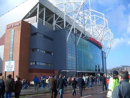 Old Trafford Landmark, Trafford9.9 km SE
Other cities and towns in Bolton
-
 Bolton City, Bolton6.5 km NW
-
Westhoughton Town, Westhoughton9.5 km W
-
Westhoughton Municipality, Bolton9.8 km W
-
Horwich Town, Horwich13 km NW
-
Horwich Municipality, Bolton12 km NW
-
Blackrod Town, Blackrod15 km NW
Sources & licences
Data last updated: · 2 independent sources