Walkden
Located in Salford, England Coordinates: 53°31′00″ N 2°24′00″ W
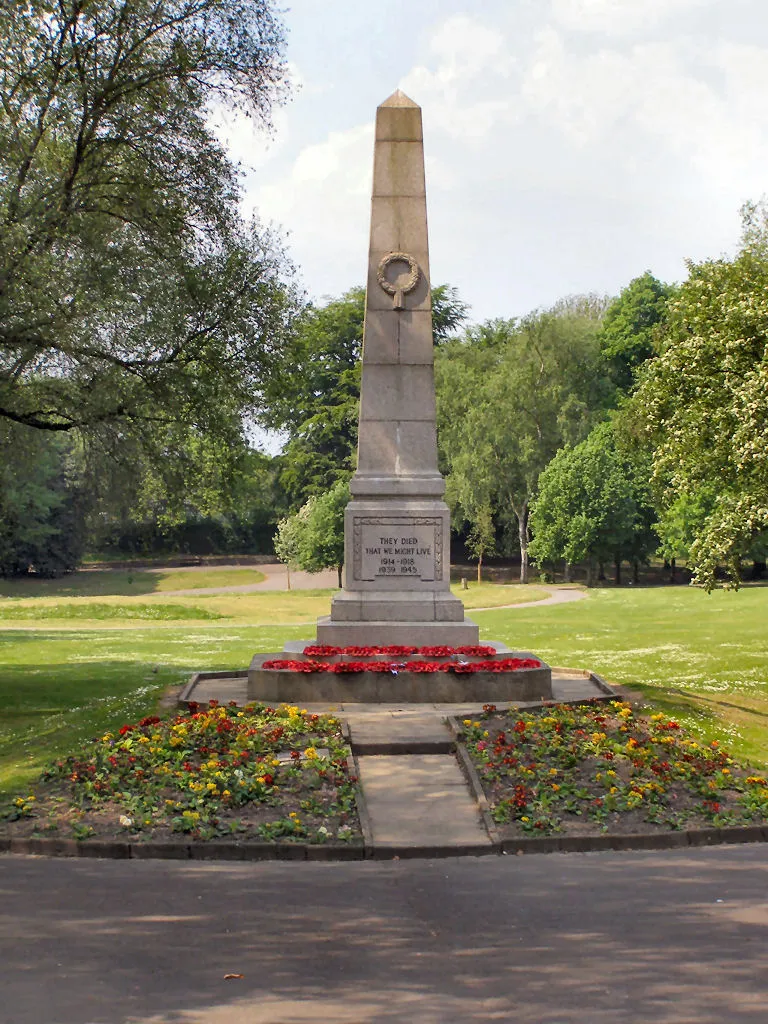
- Population
- 35,616
- 35.6K
- Elevation
- 68 m
- above sea level
- Local time
- UTC+00:00
- Europe/London · UTC+00:00
About Walkden
Walkden is a town. Location: Salford, England. Population: 35,616. Elevation: 68 m.
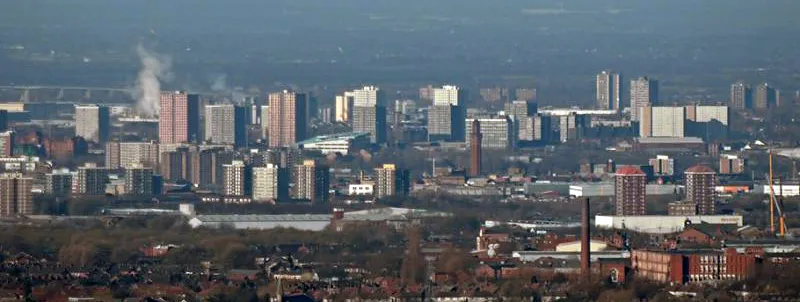
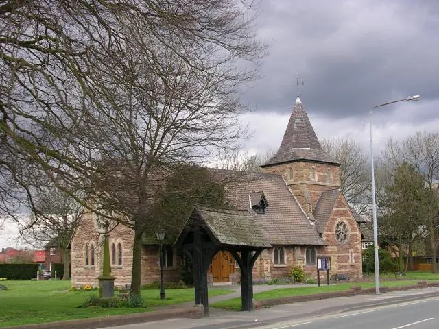
Walkden is a town in the City of Salford in Greater Manchester, England, six miles (ten kilometres) northwest of central Salford, and seven miles (eleven kilometres) of Manchester. Walkden has been designated as one of seven main town centres in the City of Salford, and now largely functions as a retail centre and commuter suburb of Greater Manchester. Historically in the township of Worsley in Lancashire, Walkden was a centre for coal mining and textile manufacture.
Read more on Wikipedia Text: Wikipedia contributors · CC BY-SA 4.0 · shortened
At a glance
- Area
- 11 km²
Source: Wikidata
In comparison
- No. 3 of 9 places in Salford by population
- Nearest larger town: Tyldesley, 4 km W
- 19 sights and natural places within 10 km Newcombe Drive (Greenheys), Salford City Stadium
Nearby attractions & nature
Everything nearby-
Newcombe Drive (Greenheys) Mountain, Salford3.1 km NW
-
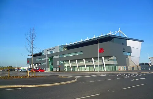 Salford City Stadium Landmark, Salford5.5 km S
-
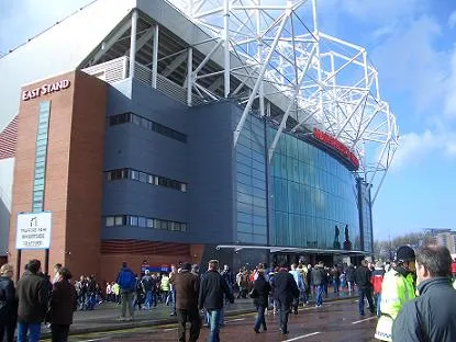 Old Trafford Landmark, Trafford9.4 km SE
-
Agecroft Hall Historic site, Borough of Bury6.6 km E
-
Top o' Cow Mountain, Bolton5.8 km NW
-
Octagon Theatre, Bolton Attraction, Bolton7 km N
-
Clarke's Hill Mountain, Borough of Bury6.2 km NE
-
River Roch River, England8.7 km NE
Other cities and towns in Salford
Sources & licences
Data last updated: · 2 independent sources