Irlam
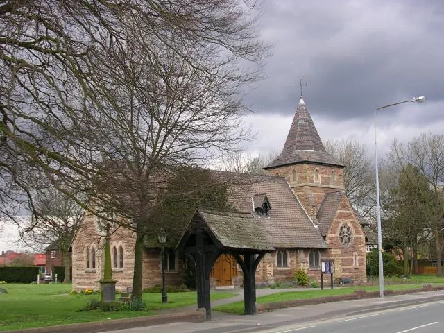
Located in Salford, England Coordinates: 53°26′33″ N 2°25′24″ W
- Population
- 19,442
- 19.4K
- Elevation
- 22 m
- above sea level
- Local time
- UTC+00:00
- Europe/London · UTC+00:00
About Irlam
Irlam is a town. Location: Salford, England. Population: 19,442. Elevation: 22 m.
Irlam is a suburb in the City of Salford, Manchester, England. In 2011, it had a population of 19,933. It lies on flat ground on the south side of the M62 motorway and the north bank of the Manchester Ship Canal, 6.7 miles (10.8 km) southwest of Salford, 7.6 miles (12.2 km) southwest of Manchester and 8.3 miles (13.4 km) northeast of Warrington.
Read more on Wikipedia Text: Wikipedia contributors · CC BY-SA 4.0 · shortened
In comparison
- No. 5 of 9 places in Salford by population
- Nearest larger town: Urmston, 5 km E
- 16 sights and natural places within 10 km River Irwell, Salford City Stadium
Nearby attractions & nature
Everything nearby-
River Irwell River, England3.6 km S
-
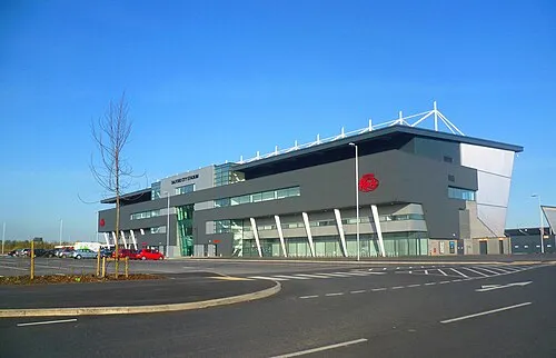 Salford City Stadium Landmark, Salford4.4 km NE
-
River Bollin River, England4.8 km S
-
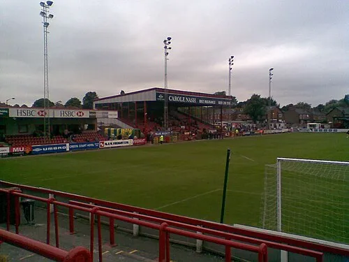 Moss Lane Landmark, Trafford8.8 km SE
-
 Old Trafford Landmark, Trafford9.1 km E
-
Bowden Watch Hill Historic site, Trafford8.6 km S
-
Altrincham Mound Historic site, Trafford7 km SE
-
Dunham Massey Historic site, Dunham Massey6.8 km S
Other cities and towns in Salford
-
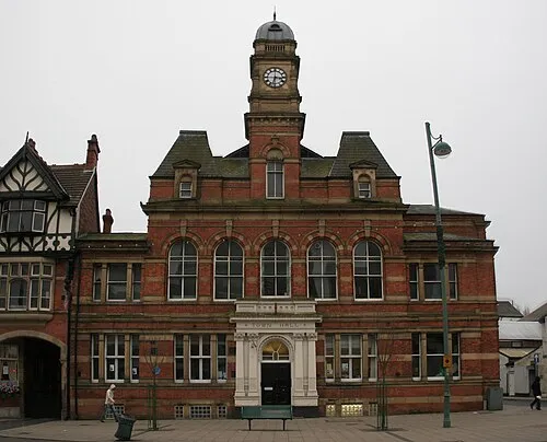 Eccles Town, Salford7.5 km NE
-
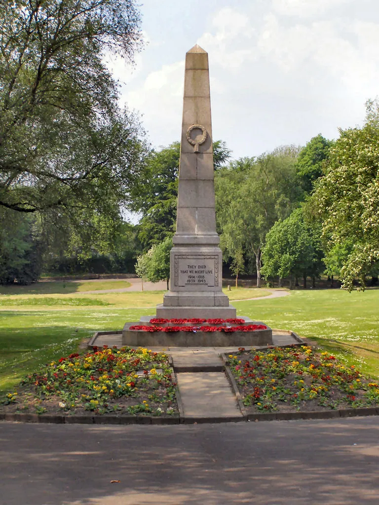 Walkden Town, Salford8.4 km N
-
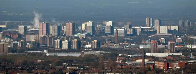 Salford City, Salford10 km NE
-
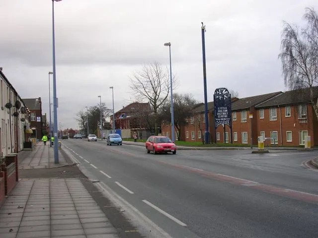 Little Hulton Town, Salford10 km N
-
Swinton Town, Salford8 km NE
Sources & licences
Data last updated: · 2 independent sources