Clifton
Located in Bristol, England Coordinates: 51°27′40″ N 2°37′12″ W
- Population
- 21,818
- 21.8K
- Elevation
- 68 m
- above sea level
- Local time
- UTC+00:00
- Europe/London · UTC+00:00
About Clifton
Clifton is a neighbourhood. Location: Bristol, England. Population: 21,818.
Clifton is an inner suburb of Bristol, England, and the name of one of the city's thirty-five electoral wards. The Clifton ward also includes the areas of Cliftonwood and Hotwells. The eastern part of the suburb lies within the ward of Clifton Down.
Read more on Wikipedia Text: Wikipedia contributors · CC BY-SA 4.0 · shortened
In comparison
- No. 2 of 8 places in Bristol by population
- Nearest larger town: Bristol, 2 km E
- 28 sights and natural places within 10 km Bristol Zoo Gardens, Observatory Hill
Nearby attractions & nature
Everything nearby-
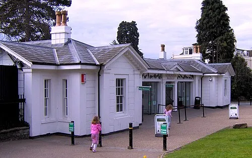 Bristol Zoo Gardens Attraction, Bristol0.3 km NW
-
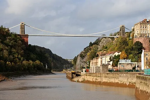 Clifton Suspension Bridge Landmark, Bristol0.9 km SW
-
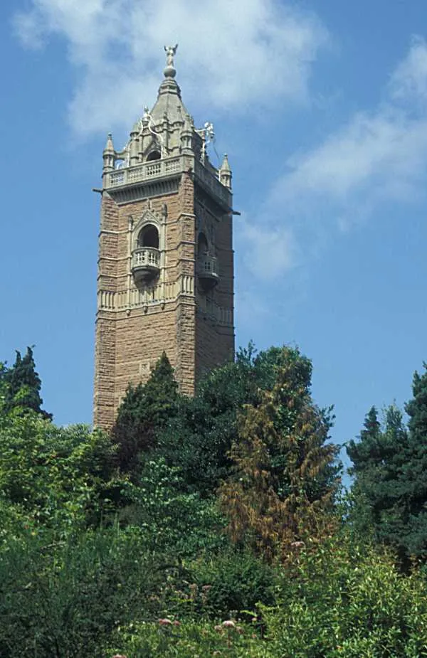 Cabot Tower Landmark, Bristol1.2 km SE
-
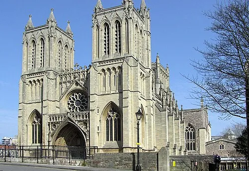 Bristol Cathedral Attraction, Bristol1.7 km SE
-
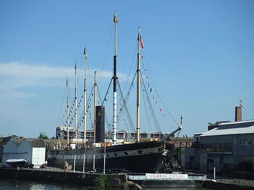 SS Great Britain Museum, Bristol1.6 km SE
-
Observatory Hill Mountain, Bristol0.7 km SW
Sources & licences
Data last updated: · 2 independent sources