Henbury
Located in Bristol, England Coordinates: 51°30′10″ N 2°37′18″ W
- Population
- 10,699
- 10.7K
- Elevation
- 80 m
- above sea level
- Local time
- UTC+00:00
- Europe/London · UTC+00:00
About Henbury
Henbury is a neighbourhood. Location: Bristol, England. Population: 10,699.
Henbury is a suburb of Bristol, England, approximately 5 miles (8.0 km) north west of the city centre. It was formerly a village in Gloucestershire and is now bordered by Westbury-on-Trym to the south; Brentry to the east and the Blaise Castle Estate, Blaise Hamlet and Lawrence Weston to the west. To the north lie the South Gloucestershire village of Hallen and the entertainment/retail park Cribbs Causeway.
Read more on Wikipedia Text: Wikipedia contributors · CC BY-SA 4.0 · shortened
In comparison
- No. 7 of 8 places in Bristol by population
- Nearest larger town: Clifton, 5 km S
- 22 sights and natural places within 10 km Kings Weston Hill, River Trym
Nearby attractions & nature
Everything nearby-
Kings Weston Hill Mountain, Bristol2 km W
-
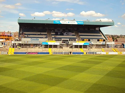 Memorial Stadium Landmark, Bristol3.2 km SE
-
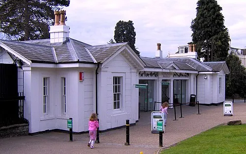 Bristol Zoo Gardens Attraction, Bristol4.4 km S
-
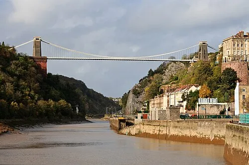 Clifton Suspension Bridge Landmark, Bristol5.4 km S
-
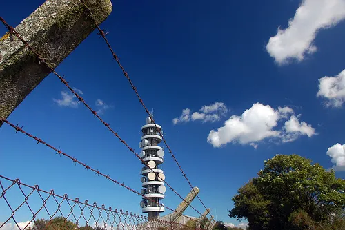 Purdown BT Tower Landmark, Bristol4.5 km SE
-
River Trym River, England2.3 km S
Sources & licences
Data last updated: · 2 independent sources