Hotwells
Located in Bristol, England Coordinates: 51°26′59″ N 2°36′54″ W
- Population
- 3,002
- 3K
- Elevation
- 20 m
- above sea level
- Local time
- UTC+00:00
- Europe/London · UTC+00:00
About Hotwells
Hotwells is a neighbourhood. Location: Bristol, England. Population: 3,002.
Hotwells is a neighbourhood in the English port city of Bristol. It is located to the south of and below the high ground of Clifton, and directly to the north of the Floating Harbour. The southern entrance to the Avon Gorge, which connects the docks to the sea, lies at the western end of Hotwells. The eastern end of the area is at the roundabout where Jacobs Well Road meets Hotwell Road. Hotwells is split between the city wards of Clifton, and Hotwells and Harbourside.
Read more on Wikipedia Text: Wikipedia contributors · CC BY-SA 4.0 · shortened
At a glance
- Area
- 40 ha
Source: Wikidata
In comparison
- No. 8 of 8 places in Bristol by population
- Nearest larger town: Clifton, 1 km N
- 28 sights and natural places within 10 km SS Great Britain, Brandon Hill park
Nearby attractions & nature
Everything nearby-
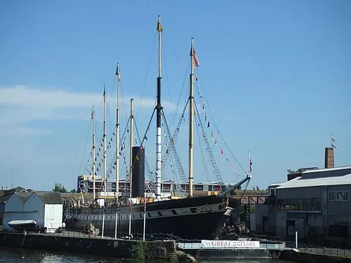 SS Great Britain Museum, Bristol0.5 km E
-
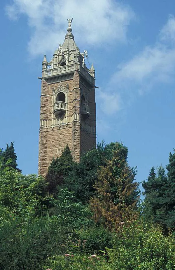 Cabot Tower Landmark, Bristol0.7 km NE
-
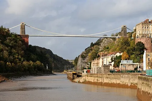 Clifton Suspension Bridge Landmark, Bristol1.1 km NW
-
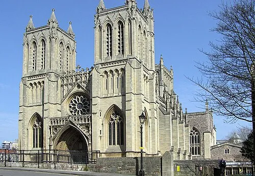 Bristol Cathedral Attraction, Bristol1 km E
-
Brandon Hill park Natural site, Bristol0.7 km NE
-
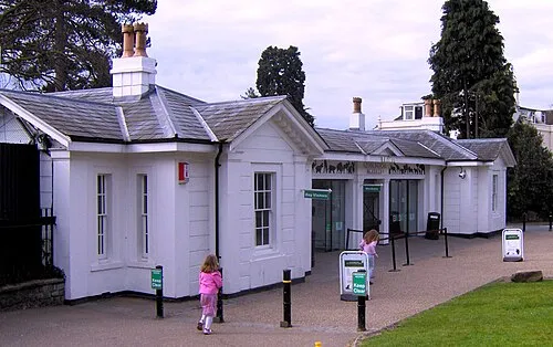 Bristol Zoo Gardens Attraction, Bristol1.6 km N
Sources & licences
Data last updated: · 2 independent sources