Purdown BT Tower
Located in Bristol, England Coordinates: 51°29′07″ N 2°33′46″ W
- Local time
- UTC+00:00
- Europe/London · UTC+00:00
- Elevation
- 86 m
- above sea level
About Purdown BT Tower
Purdown BT Tower is a landmark. Location: Bristol, England.
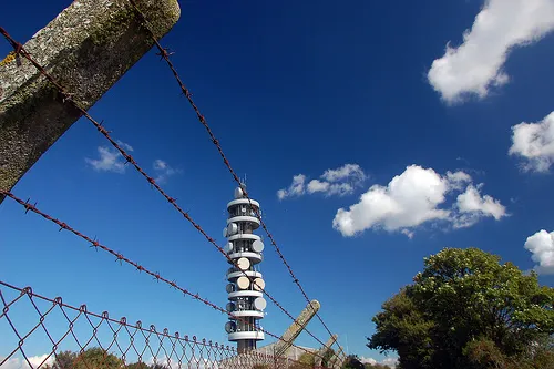
Purdown BT Tower, also known as Purdown Transmitter (sometimes written as Pur Down), is a 70.1 metres (230 ft) tall telecommunications tower in Bristol, England. Built in 1970 for the British Telecom microwave network, it is now used to transmit radio and provide mobile phone coverage. The tower is located on a hill, Purdown, in Stoke Park in the Lockleaze suburb, about 2 miles (3.2 km) north of the city centre.
Read more on Wikipedia Text: Wikipedia contributors · CC BY-SA 4.0 · shortened
In comparison
- 20 sights and natural places within 10 km Memorial Stadium, College Road Allotments
Climate of Purdown BT Tower
Best months for sightseeing: June–August.
| Month | Jan | Feb | Mar | Apr | May | Jun | Jul | Aug | Sep | Oct | Nov | Dec |
|---|---|---|---|---|---|---|---|---|---|---|---|---|
| Average high (°C) | 7° | 7° | 10° | 12° | 16° | 19° | 21° | 21° | 18° | 14° | 10° | 8° |
| Average low (°C) | 2° | 2° | 3° | 4° | 7° | 10° | 12° | 12° | 10° | 8° | 5° | 3° |
| Precipitation (mm) | 93 | 62 | 72 | 55 | 61 | 67 | 53 | 72 | 82 | 85 | 87 | 93 |
Monthly averages for 1970–2000 at about 18 km resolution, adjusted for elevation. Highlighted months are mild and relatively dry. Source: WorldClim 2.1 (CC BY 4.0).
Airports nearest to Purdown BT Tower
- Bristol Airport (BRS) Bristol 16 km
- Cardiff International Airport (CWL) Cardiff 55 km
- Bournemouth Airport (BOH) Bournemouth 93 km
Straight-line distance; airports with scheduled flights only. Source: OurAirports (public domain).
Nearby attractions & nature
Everything nearby-
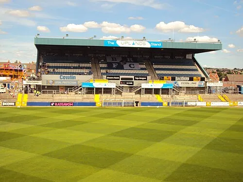 Memorial Stadium Landmark, Bristol1.4 km W
-
College Road Allotments Attraction, Bristol2.1 km E
-
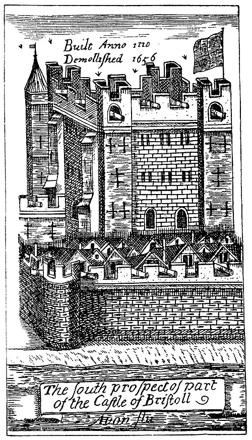 Bristol Castle Historic site, Bristol3.7 km SW
-
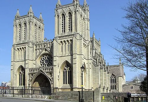 Bristol Cathedral Attraction, Bristol4.6 km SW
-
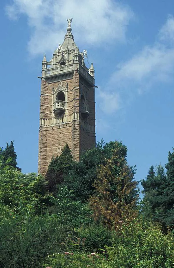 Cabot Tower Landmark, Bristol4.6 km SW
-
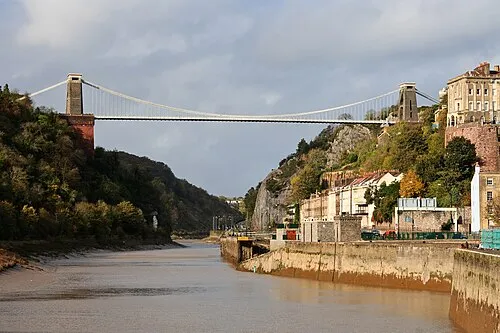 Clifton Suspension Bridge Landmark, Bristol5.7 km SW
-
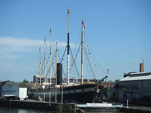 SS Great Britain Museum, Bristol5.1 km SW
-
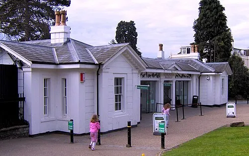 Bristol Zoo Gardens Attraction, Bristol4.8 km SW
Nearest towns and villages
-
Hillfields Village, Bristol3.3 km E
-
Lockleaze Neighbourhood, Bristol0.6 km NW
-
Stapleton Neighbourhood, Bristol0.7 km E
-
Horfield Neighbourhood, Bristol1.3 km NW
Sources & licences
Data last updated: · 2 independent sources