Betchton
Located in Cheshire East, England Coordinates: 53°07′29″ N 2°19′28″ W
- Elevation
- 80 m
- above sea level
- Local time
- UTC+00:00
- Europe/London · UTC+00:00
- Places inside
- 4
- listed under Betchton
About Betchton
Betchton is a municipality. Location: Cheshire East, England. Elevation: 80 m.
In comparison
- Nearest larger town: Rode Heath, 2 km SE
- 11 sights and natural places within 10 km Sandbach St. Marys, Linley Hill
- Listed here: Village: 4
Places in Betchton
4 places-
Betchton Heath Village
-
Hassall Green Village
-
Lawton Heath End Village
-
Malkin's Bank Village
Nearby attractions & nature
Everything nearby-
Sandbach St. Marys Attraction, Sandbach3.2 km NW
-
Linley Hill Mountain, Newcastle-under-Lyme District5.5 km SE
-
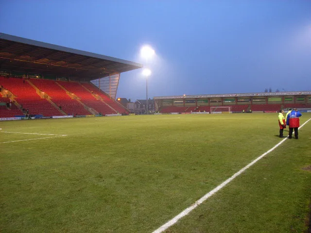 Alexandra Stadium Landmark, Shavington cum Gresty8.5 km SW
-
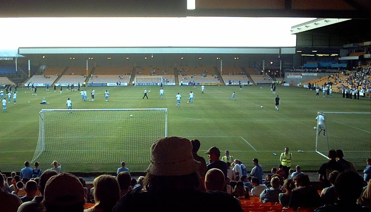 Vale Park Landmark, Stoke-on-Trent12 km SE
-
Old Man of Mow Mountain, Odd Rode7.5 km E
-
Mow Cop - Trig Point Mountain, Odd Rode7.5 km E
-
Gill Bank Mountain, Stoke-on-Trent8.3 km SE
-
Ashenough Hill Mountain, Kidsgrove7.9 km SE
Sources & licences
Data last updated: