Cheshire East
Located in England, United Kingdom Coordinates: 53°10′01″ N 2°21′45″ W
- Population
- 421,298
- 421.3K
- Elevation
- 64 m
- above sea level
- Local time
- UTC+00:00
- Europe/London · UTC+00:00
- Places inside
- 169
- listed under Cheshire East
About Cheshire East
Cheshire East is a district. Location: England, United Kingdom. Population: 421,298.
In comparison
- 2 sights and natural places within 10 km Sandbach St. Marys, Kinderton Hall
- Listed here: Municipality: 143, Neighbourhood: 18, Village: 7, Mountain: 1
Airports nearest to Cheshire East
- Manchester Airport (MAN) Manchester, Greater Manchester 21 km
- Liverpool John Lennon Airport (LPL) Liverpool 38 km
- East Midlands Airport (EMA) Nottingham, Leicestershire 79 km
Straight-line distance; airports with scheduled flights only. Source: OurAirports (public domain).
Places in Cheshire East
169 places-
Chorley Municipality490
-
Acton Municipality
-
Adlington Municipality
-
Agden Municipality
-
Alderley Edge Municipality
-
Alpraham Municipality
-
Alsager Municipality
-
Arclid Municipality
-
Ashley Municipality
-
Aston By Budworth Municipality
-
Aston Juxta Mondrum Municipality
-
Audlem Municipality
-
Austerson Municipality
-
Baddiley Municipality
-
Baddington Municipality
-
Barthomley Municipality
-
Basford Municipality
-
Batherton Municipality
-
Betchton Municipality
-
Bexton Municipality
-
Bickerton Municipality
-
Blakenhall Municipality
-
Bollington Municipality
-
Bosley Municipality
-
Bradwall Municipality
-
Brereton Municipality
-
Bridgemere Municipality
-
Brindley Municipality
-
Broken Cross Neighbourhood
-
Broomhall Municipality
-
Buerton Municipality
-
Bulkeley Municipality
-
Bunbury Municipality
-
Burland Municipality
-
Calveley Municipality
-
Checkley cum Wrinehill Municipality
-
Chelford Municipality
-
Cholmondeley Municipality
-
Cholmondeston Municipality
-
Chorley Municipality
-
Chorlton Municipality
-
Church Coppenhall Village
-
Church Lawton Municipality
-
Church Minshull Municipality
-
Congleton Municipality
-
Coole Pilate Municipality
-
Coppenhall Moss Village
-
Cranage Municipality
-
Crewe Green Municipality
-
Davenport Green Neighbourhood
-
Dean Row Village
-
Disley Municipality
-
Dodcott cum Wilkesley Municipality
-
Doddington Municipality
-
Eaton Municipality
-
Edleston Municipality
-
Egerton Municipality
-
Faddiley Municipality
-
Finney Green Neighbourhood
-
Fulshaw Park Neighbourhood
Nature and heritage in Cheshire East
-
The Cloud Mountain, Congleton
-
Shining Tor Mountain, Macclesfield Forest and Wildboarclough
-
Old Man of Mow Mountain, Odd Rode
-
Raw Head Mountain, Bickerton
-
Shutlingsloe Mountain, Macclesfield Forest and Wildboarclough
-
Whaley Moor Mountain, Disley
Nearby attractions & nature
Everything nearby-
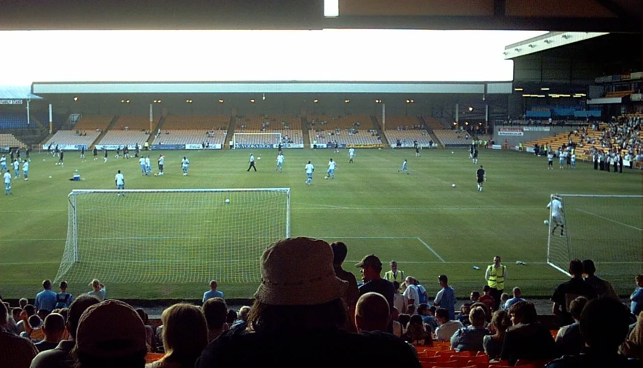 Vale Park Landmark, Stoke-on-Trent17 km SE
-
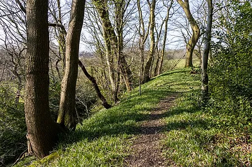 Biddulph Lea Forge Historic site, Biddulph14 km E
-
Linley Hill Mountain, Newcastle-under-Lyme District11 km SE
-
Ashenough Hill Mountain, Kidsgrove13 km SE
-
Gill Bank Mountain, Stoke-on-Trent13 km SE
-
Audley Castle Hill Historic site, Audley Rural13 km S
Sources & licences
Data last updated: