Congleton
Located in Cheshire East, England Coordinates: 53°09′47″ N 2°11′45″ W
- Elevation
- 117 m
- above sea level
- Local time
- UTC+00:00
- Europe/London · UTC+00:00
- Places inside
- 12
- listed under Congleton
About Congleton
Congleton is a municipality. Location: Cheshire East, England. Elevation: 117 m.
In comparison
- Nearest larger town: Congleton, 1 km W
- 16 sights and natural places within 10 km The Cloud, Biddulph Lea Forge
- Listed here: Neighbourhood: 7, Village: 3, Mountain: 1, Town: 1
Places in Congleton
12 places-
Congleton Town26.2K
-
Astbury Marsh Neighbourhood
-
Buglawton Neighbourhood
-
Cloud Side Village
-
Dane in Shaw Neighbourhood
-
Hightown Neighbourhood
-
Key Green Village
-
Lower Heath Neighbourhood
-
Mossley Neighbourhood
-
The Cloud Mountain
-
Timbersbrook Village
-
West Heath Neighbourhood
Nearby attractions & nature
Everything nearby-
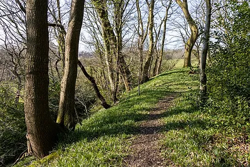 Biddulph Lea Forge Historic site, Biddulph4 km SE
-
Long Edge Mountain, Rushton4 km E
-
Old Man of Mow Mountain, Odd Rode5.5 km S
-
Mow Cop - Trig Point Mountain, Odd Rode5.5 km S
-
The Bent Mountain, Biddulph5.8 km SE
-
Whitemoor Hill Mountain, Bosley6.8 km NE
-
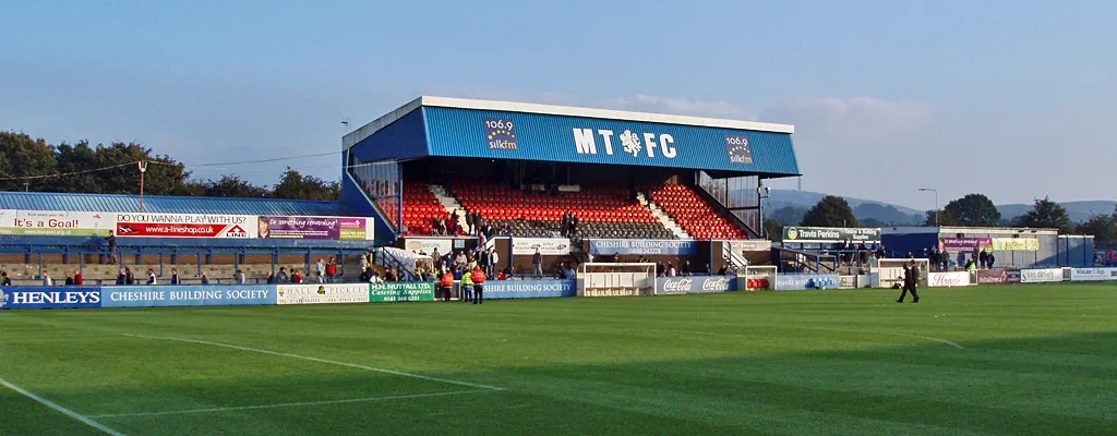 Moss Rose Landmark, Sutton10 km NE
-
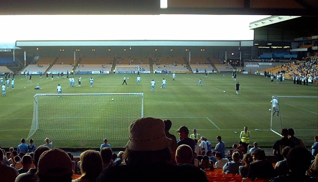 Vale Park Landmark, Stoke-on-Trent13 km S
Sources & licences
Data last updated: