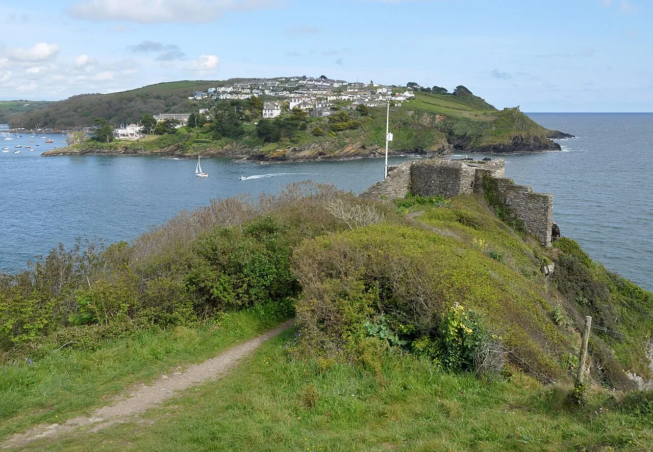
St Catherine's Castle
Located in Fowey, Cornwall Coordinates: 50°19′41″ N 4°38′40″ W
- Local time
- UTC+00:00
- Europe/London · UTC+00:00
- Elevation
- 8 m
- above sea level
About St Catherine's Castle
St Catherine's Castle is a historic site. Location: Fowey, Cornwall.
St Catherine's Castle (Cornish: Kastel S. Kattryn) is a Henrician castle in Cornwall, England, built by Thomas Treffry between approximately 1538 and 1540, in response to fears of an invasion of England by France and the Holy Roman Empire. The D-shaped, stone fortification, equipped with five gun-ports for cannon, overlooked the mouth of the River Fowey in Cornwall. It was protected by a curtain wall and the surrounding cliffs.
Read more on Wikipedia Text: Wikipedia contributors · CC BY-SA 4.0 · shortened
At a glance
- Built
- 1538
- Heritage designation
- Grade II* listed building, scheduled monument
Source: Wikidata
In comparison
- 29 sights and natural places within 10 km Polruan Blockhouse, Fowey Blockhouse
Nearby attractions & nature
Everything nearby-
Polruan Blockhouse Landmark, Lanteglos0.5 km E
-
Fowey Blockhouse Landmark, Fowey0.5 km NE
-
Place House Landmark, Fowey1 km NE
-
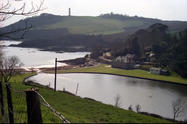 Gribbin Head Natural site, England2 km SW
-
Pencarrow Head Natural site, England3.2 km E
-
Golant Down Mountain, St. Sampson3.5 km N
-
Lantic Bay Natural site, England2.6 km E
-
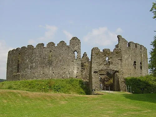 Restormel Castle Historic site, Lostwithiel11 km N
Nearest towns and villages
Sources & licences
Data last updated: · 2 independent sources