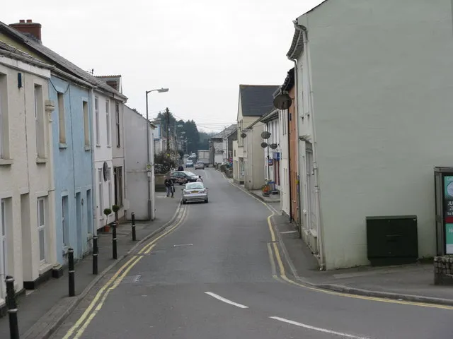
Saint Blazey
Located in St. Blaise, Cornwall Coordinates: 50°21′48″ N 4°43′08″ W
- Population
- 6,575
- 6.6K
- Elevation
- 31 m
- above sea level
- Local time
- UTC+00:00
- Europe/London · UTC+00:00
About Saint Blazey
Saint Blazey is a town. Location: St. Blaise, Cornwall. Population: 6,575. Elevation: 31 m.
St Blazey or St Blaise (Cornish: Lanndreth [ˈlanːdrɛθ] ) is a town and civil parish in Cornwall, England, United Kingdom. The parish has a short section of coastline onto St Austell Bay and includes western parts of Par within its boundaries, including Par Harbour. The parish also includes rural areas to the north-west of the built up area, including the hamlet of Bodelva and the Eden Project, which is located in a former quarry. The western part of the St Blazey built up area is known as St Blazey Gate.
Read more on Wikipedia Text: Wikipedia contributors · CC BY-SA 4.0 · shortened
In comparison
- Nearest larger town: Par, 2 km SE
- 45 sights and natural places within 10 km Pengall Hill, Eden Project
Nearby attractions & nature
Everything nearby-
Eden Project Attraction, St. Blaise1.8 km W
-
Pengall Hill Mountain, Luxulyan0.8 km N
-
Treskilling Downs Mountain, Luxulyan3.2 km NW
-
Carclaze Downs Mountain, Treverbyn3.8 km W
-
Crift Downs Mountain, Lanlivery5 km N
-
Caerloggas Downs Mountain, Treverbyn5.3 km W
-
Ruddle Moor Mountain, Treverbyn5.6 km W
-
Castle Dore Hill Mountain, St. Sampson3.6 km E
Sources & licences
Data last updated: · 2 independent sources