Wyken
Located in Coventry, England Coordinates: 52°25′00″ N 1°28′00″ W
- Elevation
- 94 m
- above sea level
- Local time
- UTC+00:00
- Europe/London · UTC+00:00
About Wyken
Wyken is a village. Location: Coventry, England. Elevation: 94 m.
Wyken, a suburb of Coventry, in the county of the West Midlands, England, is situated between the areas of Stoke and Walsgrave, three miles east-northeast of Coventry city centre. The population of this Coventry Ward taken at the 2011 census was 16,818. It is a fairly large ward spreading as far as the Binley area. The majority of the houses in Wyken are terraced houses. The original parish ran close to the River Sowe and was mainly flat except for Wyken Heath and Wyken Knob near Stoke Heath.
Read more on Wikipedia Text: Wikipedia contributors · CC BY-SA 4.0 · shortened
In comparison
- Nearest larger town: Coventry, 3 km W
- 18 sights and natural places within 10 km Caludon Castle, Whitefriars Monastery
Nearby attractions & nature
Everything nearby-
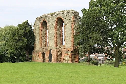 Caludon Castle Historic site, Coventry1 km E
-
 Coventry Cathedral Attraction, Coventry2.9 km W
-
Whitefriars Monastery Historic site, Coventry2.7 km SW
-
Coventry Caesars Tower Landmark, Coventry3 km W
-
Herbert Art Gallery and Museum Museum, Coventry2.9 km W
-
 Coventry Transport Museum Museum, Coventry3 km W
Sources & licences
Data last updated: · 2 independent sources