Caludon Castle
Located in Coventry, England Coordinates: 52°25′05″ N 1°27′06″ W
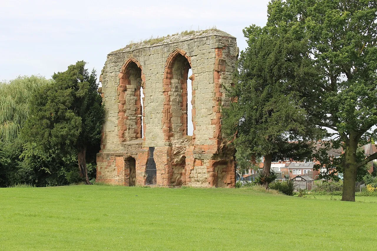
- Local time
- UTC+00:00
- Europe/London · UTC+00:00
- Elevation
- 87 m
- above sea level
About Caludon Castle
Caludon Castle is a historic site. Location: Coventry, England.
Caludon Castle is a Scheduled Ancient Monument and Grade I listed building in Coventry, in the West Midlands of England. A second moated site 190 metres (620 ft) to the south is a Scheduled Ancient Monument in its own right. The castle is now a ruin, and all that remains is a large fragment of sandstone wall. What remains of the estate is now an urban park, owned and run by Coventry City Council, but much of it was sold and developed into housing estates in the early 20th century.
Read more on Wikipedia Text: Wikipedia contributors · CC BY-SA 4.0 · shortened
At a glance
- Heritage designation
- Grade I listed building, scheduled monument
Source: Wikidata
In comparison
- 15 sights and natural places within 10 km Whitefriars Monastery, Herbert Art Gallery and Museum
Nearby attractions & nature
Everything nearby-
 Coventry Cathedral Attraction, Coventry3.9 km W
-
 Coventry Transport Museum Museum, Coventry4 km W
-
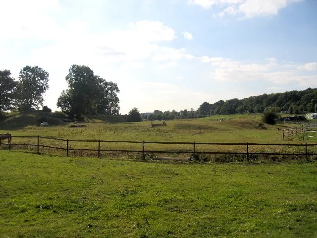 Brandon Castle Historic site, Brandon and Bretford5.5 km SE
-
Whitefriars Monastery Historic site, Coventry3.7 km W
-
Herbert Art Gallery and Museum Museum, Coventry3.9 km W
-
Coventry Caesars Tower Landmark, Coventry4 km W
-
Belgrade Theatre Attraction, Coventry4.2 km W
-
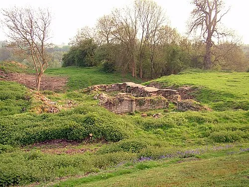 Baginton Castle Historic site, Baginton6.3 km SW
Nearest towns and villages
-
Wyken Village, Coventry1 km W
-
Walsgrave on Sowe Village, Coventry0.9 km NE
-
Binley Neighbourhood, Coventry1.8 km S
-
Wyken Green Neighbourhood, Coventry1.4 km NW
More sights in Coventry
-
 Allesley Ringwork Historic site, Coventry7.5 km W
-
Coventry City Football Club Landmark, Coventry4.6 km NW
-
Nick Newbold Stadium Landmark, Coventry5.2 km W
Sources & licences
Data last updated: · 2 independent sources