Wyken Green
Located in Coventry, England Coordinates: 52°25′30″ N 1°28′07″ W
- Elevation
- 87 m
- above sea level
- Local time
- UTC+00:00
- Europe/London · UTC+00:00
About Wyken Green
Wyken Green is a neighbourhood. Location: Coventry, England.
In comparison
- Nearest larger town: Coventry, 4 km SW
- 17 sights and natural places within 10 km Caludon Castle, Whitefriars Monastery
Airports nearest to Wyken Green
- Birmingham Airport (BHX) Birmingham, West Midlands 19 km
- East Midlands Airport (EMA) Nottingham, Leicestershire 46 km
- London Luton Airport (LTN) Luton, Luton 97 km
Straight-line distance; airports with scheduled flights only. Source: OurAirports (public domain).
Nearby attractions & nature
Everything nearby-
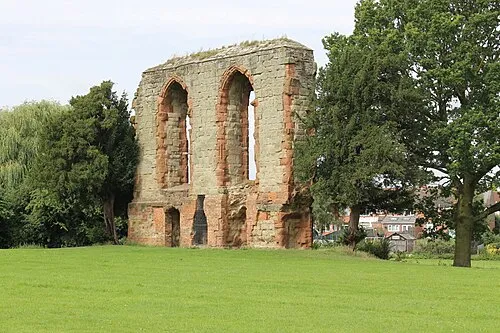 Caludon Castle Historic site, Coventry1.4 km SE
-
 Coventry Cathedral Attraction, Coventry3.2 km SW
-
Whitefriars Monastery Historic site, Coventry3.1 km SW
-
Coventry Caesars Tower Landmark, Coventry3.3 km SW
-
Nick Newbold Stadium Landmark, Coventry4.4 km SW
-
 Coventry Transport Museum Museum, Coventry3.2 km SW
Sources & licences
Data last updated: