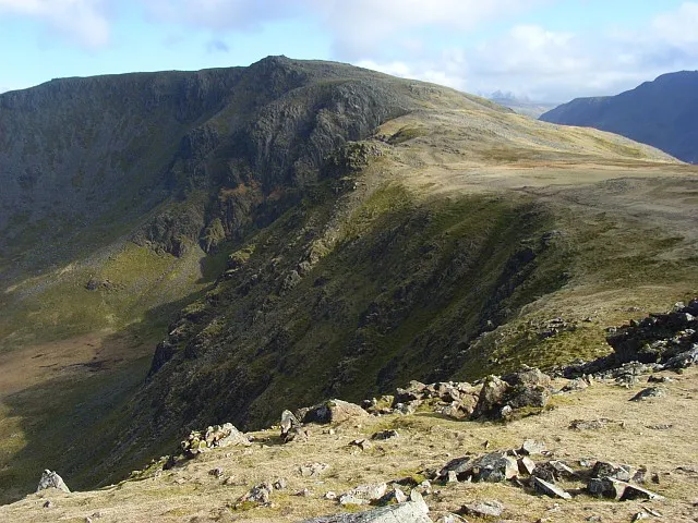
- Elevation
- 806 m
- above sea level
- Local time
- UTC+00:00
- Europe/London · UTC+00:00
- Airports
- IOM Isle of Man Airport100 km
- NCL Newcastle International Airport118 km
About High Stile
High Stile is a mountain. Location: Buttermere, Cumberland. Elevation: 806 m.
High Stile is a mountain in the western part of the Lake District in North West England. It is the eleventh-highest English Marilyn, standing 807 metres (2,648 ft) high, and has a relative height of 362 metres (1,188 ft). It is the highest in the range of fells extending north-west from Great Gable towards Loweswater, and together with its satellites, Red Pike and High Crag, forms a trio of fells overlooking the lake and village of Buttermere.
Source: Wikipedia · CC BY-SA 4.0
At a glance
- Topographic prominence
- 362 m
Source: Wikidata
Photos of High Stile
-

Antiquary · CC BY-SA 4.0 -

Kreuzschnabel · CC BY-SA 3.0 -
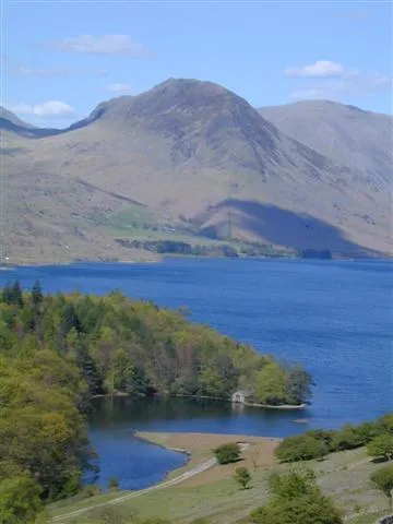
Yewbarrow Ben Gamble · CC BY-SA 2.0 -
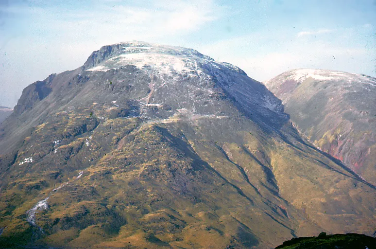
Great Gable Phillip Capper from Wellington, New Zealand · CC BY 2.0 -
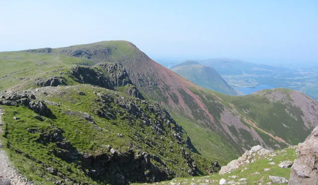
Red Pike (Buttermere) Espresso Addict · CC BY-SA 2.0


Climate of High Stile
This month · November
A wet month
Day 4° · Night -1° · Rain 167 mm
- Hottest month
- July (day 14°)
- Coldest month
- January (night -4°)
- Wettest month
- December (176 mm)
- Driest month
- June (89 mm)
Bars: average monthly low and high temperature. Below: precipitation. Monthly averages for 1970–2000 at about 18 km resolution, adjusted for elevation. Highlighted months are mild and relatively dry. Source: WorldClim 2.1 (CC BY 4.0).
Show values as a table
| Month | Jan | Feb | Mar | Apr | May | Jun | Jul | Aug | Sep | Oct | Nov | Dec |
|---|---|---|---|---|---|---|---|---|---|---|---|---|
| Average high (°C) | 1° | 2° | 4° | 7° | 10° | 12° | 14° | 14° | 11° | 8° | 4° | 2° |
| Average low (°C) | -4° | -3° | -2° | -1° | 2° | 5° | 7° | 6° | 4° | 2° | -1° | -3° |
| Precipitation (mm) | 175 | 127 | 135 | 93 | 90 | 89 | 97 | 117 | 133 | 170 | 167 | 176 |
How to get to High Stile
The nearest airport is Isle of Man Airport (IOM), 100 km to the southwest as the crow flies. The nearest large city is Blackpool, 80 km to the south.
Airports
- Isle of Man Airport (IOM) Castletown, Rushen 100 kmsouthwest
- Newcastle International Airport (NCL) Newcastle upon Tyne, Tyne and Wear 118 kmnortheast
- Teesside International Airport (MME) Darlington, Durham 120 kmeast
Nearby large cities
- Blackpool Population: 145K 80 kmsouth
- Preston Population: 313.3K 93 kmsoutheast
- Blackburn Population: 146.5K 101 kmsoutheast
- Burnley Population: 149.4K 106 kmsoutheast
- Wigan Population: 175.4K 117 kmsouth
Straight-line distances; road distances are longer. Airport data: OurAirports.
Day trips from High Stile
Within 100 km: 578 historic and cultural sites, 2,243 natural sites, 478 lakes, rivers and coasts.
0–25 km708 places
- St. Bees Beach Seafront Beach 21 kmW
- Seamew Crag Island 24 kmSE
- Little Isle Island 21 kmSE
- Heron Island Island 21 kmSE
25–60 km947 places
- High Moor Mountain 35 kmS
- Roanhead Beach Beach 40 kmS
- Powillimount Beach Beach 45 kmNW
- Tuft Rock Island 29 kmSE
60–100 km1,644 places
- British Isles Island 74 kmSW
- St Anne's Beach Beach 88 kmS
- Murrays Isles Island 69 kmNW
- Islands of Fleet Island 68 kmNW
Straight-line distances.
Nearest towns and villages
-
Buttermere Village, Buttermere1.7 km NE
-
Ennerdale and Kinniside Village, Cumberland4.8 km SW
-
Rannerdale Village, Buttermere4 km N
-
Loweswater Village, Cumberland6.8 km NW
-
Wasdale Village, Cumberland7.9 km S
-
Wasdale Head Village, Wasdale6.1 km S
Nearby attractions & nature
Everything nearby-
Red Pike (Buttermere) Mountain, Loweswater1.1 km NW
-
Dodd (Buttermere) Mountain, Loweswater1.1 km NW
-
High Crag (Buttermere) Mountain, Buttermere1.4 km SE
-
Little Dodd (Ennerdale) Mountain, Loweswater2.1 km W
-
Seat Mountain, Ennerdale and Kinniside2.2 km SE
-
White Pike Mountain, Ennerdale and Kinniside2.4 km S
-
Pillar Rock Mountain, Ennerdale and Kinniside2.5 km S
-
Buttermere Lake, Cumbria1.7 km NE
Sources & licences
Data last updated: · 2 independent sources