Cumberland
Located in Cumbria, England Coordinates: 54°45′56″ N 3°13′02″ W
- Elevation
- 88 m
- above sea level
- Local time
- UTC+00:00
- Europe/London · UTC+00:00
- Places inside
- 175
- listed under Cumberland
About Cumberland
Cumberland is a municipality. Location: Cumbria, England. Elevation: 88 m.
In comparison
- Nearest larger town: Bothel, 5 km SW
- 32 sights and natural places within 10 km Whitehall, Boltongate Rectory
- Listed here: Village: 132, Neighbourhood: 25, Attraction: 9, Landmark: 5
Places in Cumberland
175 places-
Carlisle City78.5K
-
Whitehaven Town22.9K
-
Denton Holme Neighbourhood6.5K
-
Above Derwent Village
-
Aikton Village
-
Allhallows Village
-
Allonby Village
-
Arlecdon and Frizington Village
-
Arrowthwaite Neighbourhood
-
Arthuret Village
-
Askerton Village
-
Aspatria Village
-
Bassenthwaite Village
-
Beaumont Village
-
Belah Neighbourhood
-
Belle Vue Village
-
Bewaldeth Village
-
Bewcastle Village
-
Bleachgreen Neighbourhood
-
Blennerhasset and Torpenhow Village
-
Blindbothel Village
-
Blindcrake Village
-
Boltons Village
-
Bootle Village
-
Borrowdale Village
-
Botcherby Neighbourhood
-
Bothel and Threapland Village
-
Bowness Village
-
Brampton Village
-
Bransty Neighbourhood
-
Bridekirk Village
-
Brigham Village
-
Bromfield Village
-
Broughton Village
-
Broughton Moor Village
-
Brunton Park Landmark
-
Burgh By Sands Village
-
Burtholme Village
-
Buttermere Village
-
Caldbeck Village
-
Caldewgate Neighbourhood
-
Camerton Village
-
Carlatton Village
-
Carlisle Bishops Tower Landmark
-
Carlisle Castle Historic site
-
Carlisle Priors Tower Landmark
-
Castle Carrock Village
-
Christ the King Roman Catholic Church Attraction
-
Cleator Moor Village
-
Cockermouth Village
-
Crosscanonby Village
-
Cummersdale Village
-
Cumrew Village
-
Cumwhitton Village
-
Currock Neighbourhood
-
Dalston Village
-
Dean Village
-
Dearham Village
-
Distington Village
-
Drigg and Carleton Village
Nearby attractions & nature
Everything nearby-
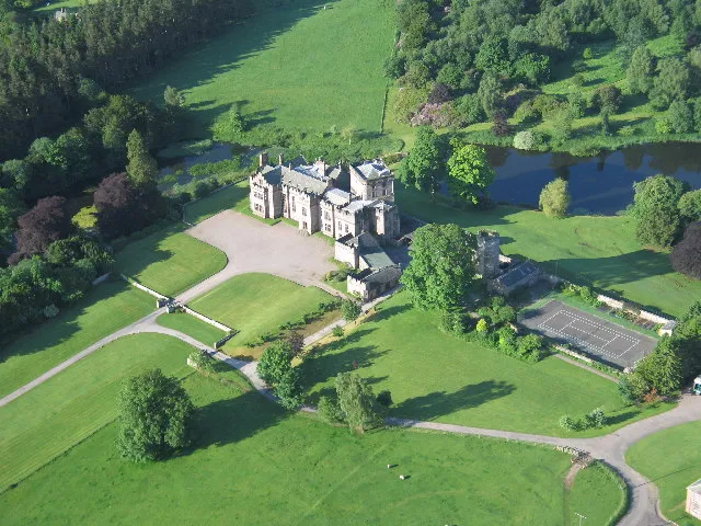 Greystoke Castle Historic site, Greystoke24 km SE
-
Great Lingy Hill Mountain, Mungrisdale12 km SE
-
Drygill Head Mountain, Mungrisdale13 km SE
-
Miton Hill Mountain, Mungrisdale14 km SE
-
Banks Mountain, Castle Sowerby14 km E
-
Round Knott Mountain, Mungrisdale14 km SE
-
River Waver River, England12 km N
-
Carrock Fell Mountain, Mungrisdale15 km SE
Other cities and towns in Cumbria
-
Wigton Town, Wigton7.5 km NE
-
Cockermouth Town, Cockermouth15 km SW
-
Maryport Town, Maryport19 km W
-
Westmorland and Furness Municipality, Cumbria49 km SE
-
Workington Town, Workington25 km SW
-
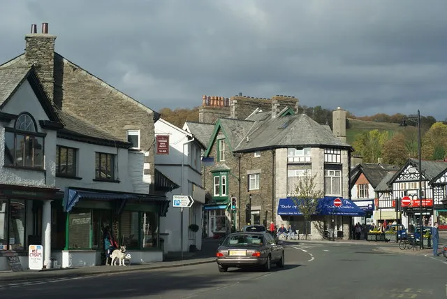 Windermere Town, Windermere47 km SE
Sources & licences
Data last updated: