- Population
- 225,390
- 225.4K
- Elevation
- 414 m
- above sea level
- Local time
- UTC+00:00
- Europe/London · UTC+00:00
- Places inside
- 214
- listed under Westmorland and Furness
- Airports
- MME Teesside International Airport84 km
- LBA Leeds Bradford Airport94 km
About Westmorland and Furness
Westmorland and Furness is a municipality. Location: Cumbria, England. Population: 225,390. Elevation: 414 m. The best months to visit are July. The nearest airport is Teesside International Airport (84 km). Nearby sights include Bannisdale Beck and Birk Beck.
Photos of Westmorland and Furness
-
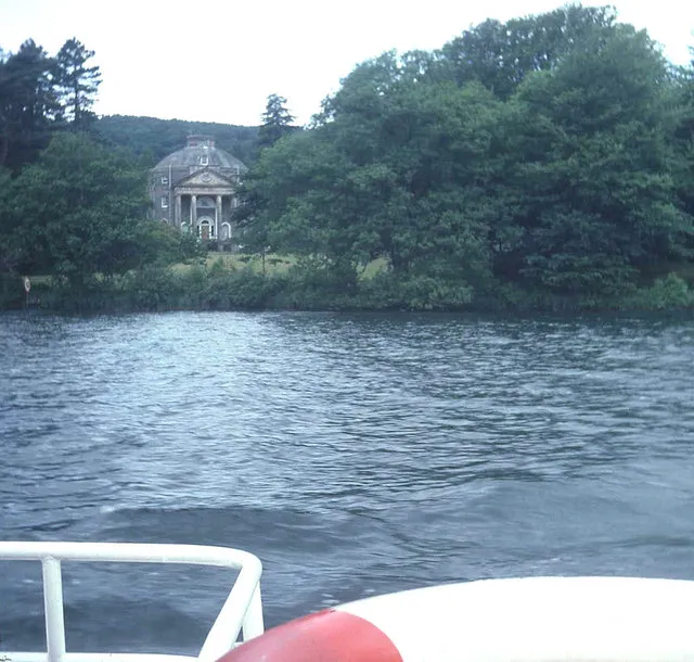
Belle Isle Trevor Rickard · CC BY-SA 2.0 -
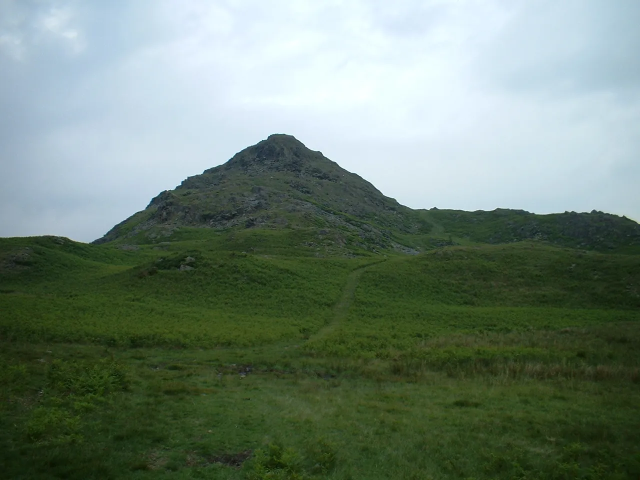
Stickle Pike Rivaldo at English Wikipedia · CC BY-SA 3.0 -
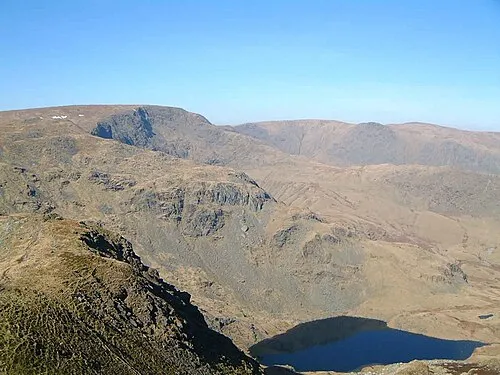
High Street Personal Photo taken by Mick Knapton at en.wikipedia · CC BY-SA 3.0 -
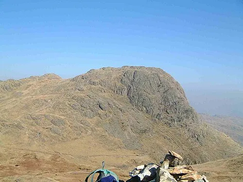
Harrison Stickle Mick Knapton at English Wikipedia · CC BY-SA 3.0 -
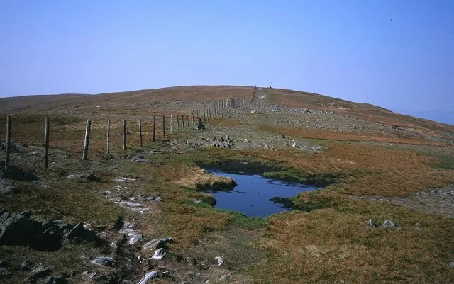
Harter Fell Richard Webb · CC BY-SA 2.0


Climate of Westmorland and Furness
Best months for sightseeingBest months for sightseeing: July.
This month · November
A wet month
Day 7° · Night 2° · Rain 178 mm
- Hottest month
- July (day 17°)
- Coldest month
- January (night -1°)
- Wettest month
- December (180 mm)
- Driest month
- April (92 mm)
Bars: average monthly low and high temperature. Below: precipitation. Monthly averages for 1970–2000 at about 18 km resolution, adjusted for elevation. Highlighted months are mild and relatively dry. Source: WorldClim 2.1 (CC BY 4.0).
Show values as a table
| Month | Jan | Feb | Mar | Apr | May | Jun | Jul | Aug | Sep | Oct | Nov | Dec |
|---|---|---|---|---|---|---|---|---|---|---|---|---|
| Average high (°C) | 4° | 5° | 7° | 9° | 13° | 15° | 17° | 17° | 14° | 11° | 7° | 5° |
| Average low (°C) | -1° | -1° | 0° | 2° | 4° | 7° | 9° | 9° | 7° | 4° | 2° | 0° |
| Precipitation (mm) | 174 | 119 | 141 | 92 | 94 | 93 | 105 | 124 | 144 | 172 | 178 | 180 |
Other places to visit in this season: July
How to get to Westmorland and Furness
The nearest airport is Teesside International Airport (MME), 84 km to the east as the crow flies. For international flights: Leeds Bradford Airport (LBA) (94 km). The nearest large city is Blackpool, 72 km to the south.
Airports
- Teesside International Airport (MME) Darlington, Durham 84 kmeast
- Leeds Bradford Airport (LBA) Leeds, West Yorkshire 94 kmsoutheast
- Newcastle International Airport (NCL) Newcastle upon Tyne, Tyne and Wear 94 kmnortheast
Nearby large cities
- Blackpool Population: 145K 72 kmsouth
- Preston Population: 313.3K 75 kmsouth
- Burnley Population: 149.4K 78 kmsoutheast
- Blackburn Population: 146.5K 78 kmsouth
- Newcastle upon Tyne Population: 300.1K 93 kmnortheast
Straight-line distances; road distances are longer. Airport data: OurAirports.
Day trips from Westmorland and Furness
Within 100 km: 797 historic and cultural sites, 1,969 natural sites, 364 lakes, rivers and coasts.
0–25 km564 places
- Tuft Rock Island 15 kmSW
- Wood Howe Island 9 kmNW
- Seamew Crag Island 17 kmW
- Little Isle Island 18 kmW
25–60 km1,280 places
- High Moor Mountain 36 kmSW
- Roanhead Beach Beach 46 kmSW
- St. Bees Beach Seafront Beach 58 kmW
- Walney Island Island 51 kmSW
60–100 km1,286 places
- British Isles Island 97 kmSW
- Great Britain Island 68 kmSE
- Ainsdale Beach Beach 95 kmS
- St Anne's Beach Beach 79 kmS
Straight-line distances.
Westmorland and Furness and similar cities
Side by side with cities of similar size in the same country: population, elevation and climate.
| Measure | Westmorland and Furness | Luton | Bexley | Barking |
|---|---|---|---|---|
| Population | 225.4K | 225.3K | 228K | 218.5K |
| Elevation | 414 m | 117 m | 16 m | 6 m |
| Summer day (hottest month) | 17° | 22° | 23° | 23° |
| Winter night (coldest month) | -1° | 1° | 2° | 2° |
| Annual rainfall | 1,616 mm | 683 mm | 665 mm | 611 mm |
| Best months | Jul | Jun–Aug | Jun–Aug | Jun–Aug |
| Distance | — | 324 km | 385 km | 374 km |
Climate values are 1970–2000 monthly averages; straight-line distance.
Places in Westmorland and Furness
214 placesBar: population relative to the most populous place in this list.
Cities & villages50
- Abbotsmead · Neighbourhood
- Ainstable · Village
- Aldingham · Village
- Alston Moor · Village
- Angerton · Village
- Appleby-in-Westmorland · Village
- Arnside · Village
- Asby · Village
- Askam and Ireleth · Village
- Askham · Village
- Bampton · Village
- Barbon · Village
- Barton · Village
- Beacon Hill · Neighbourhood
- Beetham · Village
- Biggar · Village
- Blawith and Subberthwaite · Village
- Bolton · Village
- Bowscar · Village
- Brough · Village
- Brougham · Village
- Brough Sowerby · Village
- Broughton East · Village
- Broughton West · Village
- Burton-in-Kendal · Village
- Carleton · Neighbourhood
- Cartmel Fell · Village
- Casterton · Village
- Castle Sowerby · Village
- Castletown · Neighbourhood
- Catterlen · Village
- Claife · Village
- Cliburn · Village
- Clifton · Village
- Colby · Village
- Colton · Village
- Coniston · Village
- Crackenthorpe · Village
- Crook · Village
- Crosby Garrett · Village
- Crosby Ravensworth · Village
- Croslands Park · Neighbourhood
- Crosthwaite and Lyth · Village
- Culgaith · Village
- Dacre · Village
- Dalton Town with Newton · Village
- Dent · Village
- Docker · Village
- Dufton · Village
- Dunnerdale-with-Seathwaite · Village
Mountains & nature3
- Barrow Slag Bank · Mountain
- Beacon Hill · Mountain
- Dead Stones · Mountain
Lakes, rivers & coasts3
- Barrow Island · Island
- Beacon Brow (Walney) · Island
- Dova Haw · Island
Heritage & sights2
- Barrow-in-Furness Mediumwave Transmitter · Landmark
- Dockray Hall · Landmark
Nearby attractions & nature
Everything nearby-
Bannisdale Beck River, England4.7 km SE
-
Birk Beck River, England7.8 km E
-
Hawes Water Lake, Cumbria11 km NW
-
River Sprint River, England9.9 km S
-
Swindale Beck River, England11 km N
-
Brothers Water Lake, Cumbria15 km NW
-
Lake Windermere Lake, Cumbria16 km SW
-
River Mint River, England12 km S
Other cities and towns in Cumbria
-
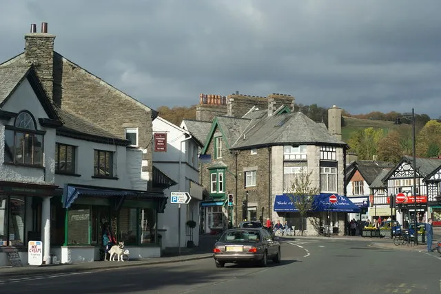 Windermere Town, Windermere14 km SW
-
Kendal Town, Kendal12 km S
-
Ulverston Town, Ulverston36 km SW
-
Dalton in Furness Town, Dalton Town with Newton43 km SW
-
Carlisle City, Cumberland53 km N
-
Millom Town, Millom44 km SW
Sources & licences
Data last updated: