Carleton
Located in St. Cuthbert Without, Cumberland Coordinates: 54°51′57″ N 2°53′21″ W
- Elevation
- 45 m
- above sea level
- Local time
- UTC+00:00
- Europe/London · UTC+00:00
About Carleton
Carleton is a village. Location: St. Cuthbert Without, Cumberland. Elevation: 45 m.
Carleton is a hamlet on the A6 road, in the civil parish of St Cuthbert Without, in the Cumberland district, in the ceremonial county of Cumbria, England. In the Imperial Gazetteer of England and Wales of 1870–1872 it had a population of 181. The buildings along the A6 between Junction 42 of the M6 to Barrock Fell including Scalesceugh Hall are all addressed as being part of Carleton. Garlands Hospital (formerly Cumberland and Westmorland Lunatic Asylum) was based in the village until it closed in 1999.
Read more on Wikipedia Text: Wikipedia contributors · CC BY-SA 4.0 · shortened
In comparison
- Nearest larger town: Cumwhinton, 2 km E
- 37 sights and natural places within 10 km Christ the King Roman Catholic Church, Brisco Mediumwave Transmitter, Mast North
Nearby attractions & nature
Everything nearby-
Brisco Mediumwave Transmitter, Mast North Landmark, St. Cuthbert Without1.8 km W
-
Brisco Mediumwave Transmitter, Mast South Landmark, St. Cuthbert Without1.8 km W
-
Newbiggin Hall in Cumberland Landmark, St. Cuthbert Without1.9 km S
-
Christ the King Roman Catholic Church Attraction, Cumberland1.6 km NW
-
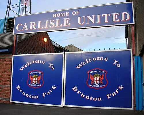 Brunton Park Landmark, Cumberland3.6 km NW
-
Woodside Landmark, St. Cuthbert Without2.8 km S
Sources & licences
Data last updated: · 2 independent sources