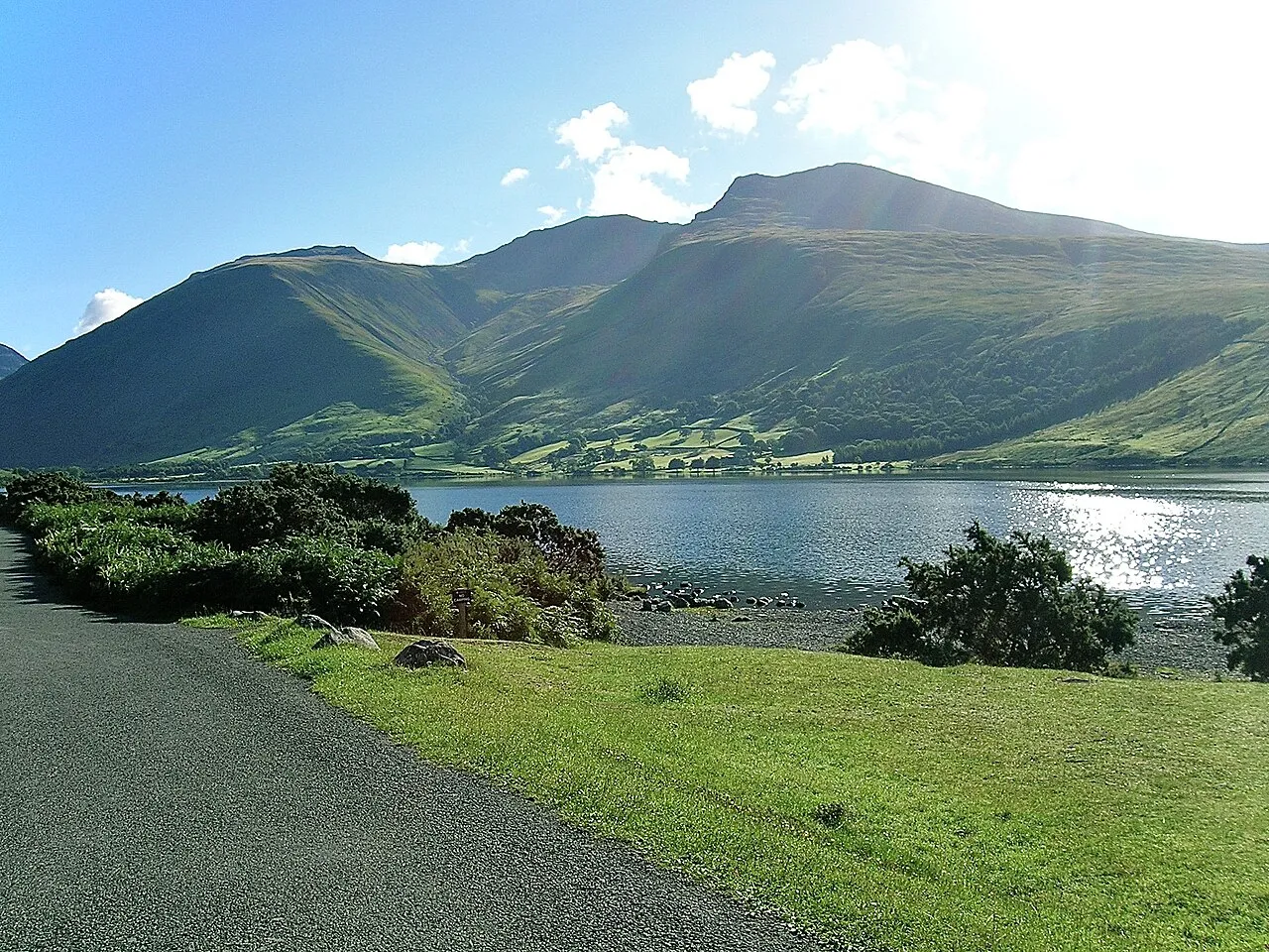
- Elevation
- 978 m
- above sea level
- Local time
- UTC+00:00
- Europe/London · UTC+00:00
- Airports
- IOM Isle of Man Airport101 km
- MME Teesside International Airport116 km
About Scafell Pike
Scafell Pike is a mountain. Location: Wasdale, Cumberland. Elevation: 978 m.
Scafell Pike () is a mountain in the Lake District region of Cumbria, England, but traditionally in the historic county of Cumberland. It has an elevation of 978 metres (3,209 ft) above sea level, making it the highest and the most prominent mountain in England. The mountain is part of the Scafell massif, an extinct volcano, and is one of the Southern Fells.
Source: Wikipedia · CC BY-SA 4.0
Photos of Scafell Pike
-

Anon user · CC BY-SA 3.0 -

Peter S · CC BY-SA 2.0 -

Peter S · CC BY-SA 2.0 -

Bill Boaden · CC BY-SA 2.0 -

Mick Knapton at English Wikipedia · CC BY-SA 3.0


Climate of Scafell Pike
This month · November
A wet month
Day 3° · Night -2° · Rain 185 mm
- Hottest month
- July (day 13°)
- Coldest month
- January (night -5°)
- Wettest month
- December (192 mm)
- Driest month
- June (96 mm)
Bars: average monthly low and high temperature. Below: precipitation. Monthly averages for 1970–2000 at about 18 km resolution, adjusted for elevation. Highlighted months are mild and relatively dry. Source: WorldClim 2.1 (CC BY 4.0).
Show values as a table
| Month | Jan | Feb | Mar | Apr | May | Jun | Jul | Aug | Sep | Oct | Nov | Dec |
|---|---|---|---|---|---|---|---|---|---|---|---|---|
| Average high (°C) | 0° | 1° | 3° | 6° | 9° | 11° | 13° | 13° | 10° | 7° | 3° | 1° |
| Average low (°C) | -5° | -5° | -4° | -2° | 0° | 3° | 6° | 5° | 3° | 0° | -2° | -4° |
| Precipitation (mm) | 189 | 136 | 149 | 104 | 98 | 96 | 104 | 127 | 145 | 189 | 185 | 192 |
How to get to Scafell Pike
The nearest airport is Isle of Man Airport (IOM), 101 km to the southwest as the crow flies. The nearest large city is Blackpool, 72 km to the south.
Airports
- Isle of Man Airport (IOM) Castletown, Rushen 101 kmsouthwest
- Teesside International Airport (MME) Darlington, Durham 116 kmeast
- Newcastle International Airport (NCL) Newcastle upon Tyne, Tyne and Wear 118 kmnortheast
Nearby large cities
- Blackpool Population: 145K 72 kmsouth
- Preston Population: 313.3K 84 kmsoutheast
- Blackburn Population: 146.5K 92 kmsoutheast
- Burnley Population: 149.4K 97 kmsoutheast
- Wigan Population: 175.4K 108 kmsouth
Straight-line distances; road distances are longer. Airport data: OurAirports.
Day trips from Scafell Pike
Within 100 km: 600 historic and cultural sites, 2,083 natural sites, 436 lakes, rivers and coasts.
0–25 km790 places
- Tuft Rock Island 21 kmSE
- Peel Island Island 17 kmSE
- Seamew Crag Island 16 kmE
- Little Isle Island 14 kmE
25–60 km824 places
- High Moor Mountain 27 kmS
- Roanhead Beach Beach 33 kmS
- St. Bees Beach Seafront Beach 26 kmW
- Powillimount Beach Beach 54 kmNW
60–100 km1,505 places
- British Isles Island 72 kmSW
- Great Britain Island 94 kmSE
- Formby Beach Beach 99 kmS
- Ainsdale Beach Beach 95 kmS
Straight-line distances.
Nearest towns and villages
-
Wasdale Head Village, Wasdale3.3 km NW
-
Eskdale Village, Cumberland5.3 km SW
-
Seathwaite Village, Borrowdale5.1 km N
-
Cockley Beck Village, Dunnerdale-with-Seathwaite6.4 km SE
-
Boot Village, Eskdale7 km SW
-
Seatoller Village, Borrowdale7.3 km NE
Nearby attractions & nature
Everything nearby-
Broad Crag Mountain, Wasdale0.5 km NE
-
Ill Crag Mountain, Eskdale0.8 km E
-
Middleboot Knotts Mountain, Wasdale0.9 km N
-
Symonds Knott Mountain, Wasdale0.9 km SW
-
Round How Mountain, Wasdale0.9 km N
-
Blunt Top Mountain, Wasdale1.1 km NE
-
Scafell Mountain, Wasdale1.1 km SW
-
Lingmell Mountain, Wasdale1.1 km NW
More nature in United Kingdom
-
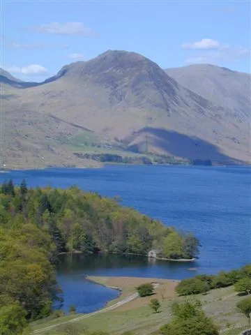 Yewbarrow Mountain, Wasdale4.4 km W
-
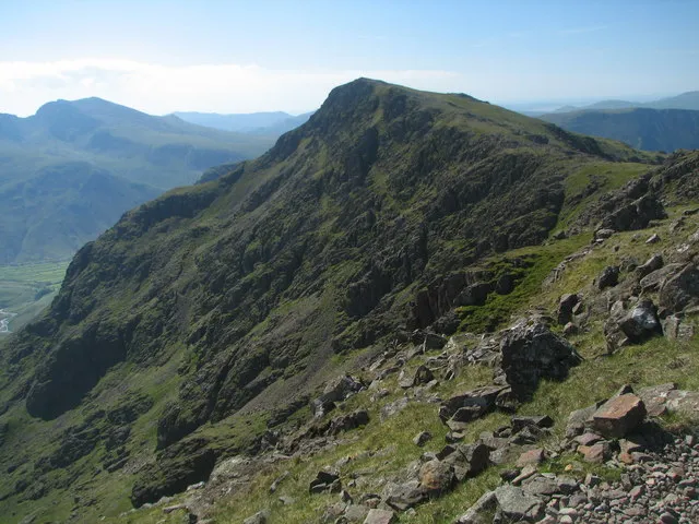 Red Pike Mosedale Mountain, Wasdale6.3 km NW
-
Great End Mountain, Wasdale1.6 km NE
-
Great Gable Mountain, Wasdale2.8 km W
-
Napes Needle Mountain, Wasdale2.8 km N
-
Kirk Fell East Top Mountain, Wasdale3.8 km NW
Sources & licences
Data last updated: · 2 independent sources