Amber Valley District
Located in Derbyshire, England Coordinates: 53°01′44″ N 1°27′26″ W
- Population
- 124,645
- 124.6K
- Elevation
- 100 m
- above sea level
- Local time
- UTC+00:00
- Europe/London · UTC+00:00
- Places inside
- 39
- listed under Amber Valley District
About Amber Valley District
Amber Valley District is a municipality. Location: Derbyshire, England. Population: 124,645. Elevation: 100 m.
In comparison
- Most populous of 8 places in Derbyshire
- Nearest larger town: Derby, 12 km S
- 20 sights and natural places within 10 km Pinchom's Hill, Bessalone
- Listed here: Village: 39
Places in Amber Valley District
39 places-
Smalley Village2.2K
-
Aldercar and Langley Mill Village
-
Alderwasley Village
-
Alfreton Village
-
Ashleyhay Village
-
Belper Village
-
Codnor Village
-
Crich Village
-
Denby Village
-
Dethick Village
-
Duffield Village
-
Golden Valley Village
-
Hazelwood Village
-
Heanor and Loscoe Village
-
Holbrook Village
-
Holloway Village
-
Horsley Village
-
Horsley Woodhouse Village
-
Idridgehay and Alton Village
-
Ironville Village
-
Kedleston Village
-
Kilburn Village
-
Kirk Langley Village
-
Lea Village
-
Mackworth Village
-
Mapperley Village
-
Pentrich Village
-
Quarndon Village
-
Ravensdale Park Village
-
Riddings Village
-
Ripley Village
-
Shipley Village
-
Shottle and Postern Village
-
Somercotes Village
-
South Wingfield Village
-
Swanwick Village
-
Turnditch Village
-
Weston Underwood Village
-
Windley Village
Nearby attractions & nature
Everything nearby-
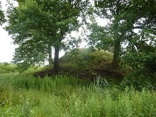 Morley House Farm Mound Historic site, Morley7.6 km S
-
Breadsall Moor Mountain, Little Eaton6 km S
-
Allestree Park Mountain, Derby7.9 km S
-
Morley Church mound Historic site, Morley8 km SE
-
Holme Nook Island, Derby8.7 km S
-
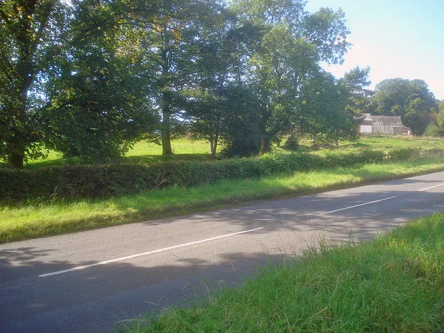 Greasley Castle Historic site, Greasley13 km E
-
Bolehill Mountain, Cromford10 km NW
-
Stainsbro Hill Mountain, Callow11 km NW
Other cities and towns in Derbyshire
Sources & licences
Data last updated: