Erewash District
Located in Derbyshire, England Coordinates: 52°56′16″ N 1°21′27″ W
- Population
- 114,891
- 114.9K
- Elevation
- 120 m
- above sea level
- Local time
- UTC+00:00
- Europe/London · UTC+00:00
- Places inside
- 24
- listed under Erewash District
About Erewash District
Erewash District is a municipality. Location: Derbyshire, England. Population: 114,891. Elevation: 120 m.
In comparison
- No. 2 of 8 places in Derbyshire by population
- Nearest larger town: Derby, 8 km W
- 20 sights and natural places within 10 km Locko Park, No Man's Lane
- Listed here: Village: 15, Neighbourhood: 7, Town: 2
Places in Erewash District
24 places-
Long Eaton Town47.9K
-
Ilkeston Town41K
-
Breadsall Village
-
Breaston Village
-
Cotmanhay Neighbourhood
-
Dale Abbey Village
-
Draycott and Church Wilne Village
-
Gallows Inn Neighbourhood
-
Hallam Fields Neighbourhood
-
Hopwell Village
-
Ilkeston Junction Neighbourhood
-
Kirk Hallam Neighbourhood
-
Larklands Neighbourhood
-
Little Eaton Village
-
Little Hallam Neighbourhood
-
Morley Village
-
Ockbrook and Borrowash Village
-
Risley Village
-
Sandiacre Village
-
Sawley Village
-
Stanley and Stanley Common Village
-
Stanton by Dale Village
-
Stanton Gate Village
-
West Hallam Village
Nearby attractions & nature
Everything nearby-
Alvaston Park Natural site, Derby6.5 km SW
-
Pride Park Landmark, Derby6.5 km SW
-
Stapleford Hill Mountain, Stapleford6.6 km E
-
Bramcote Hill Mountain, Broxtowe District7.1 km E
-
Burnt Hill Mountain, Broxtowe District7.5 km E
-
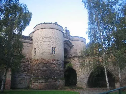 Nottingham Castle Historic site, Nottingham14 km E
-
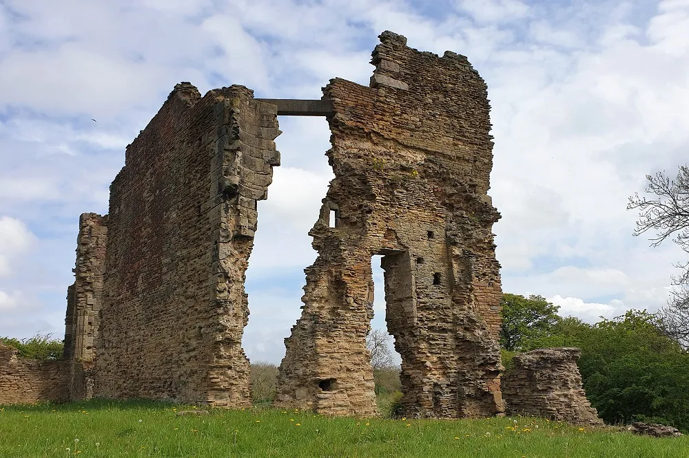 Codnor Castle Historic site, Aldercar and Langley Mill12 km N
-
Trowell Mediumwave Transmitter Landmark, Trowell7.5 km E
Other cities and towns in Derbyshire
-
Amber Valley District Municipality, Derbyshire12 km NW
-
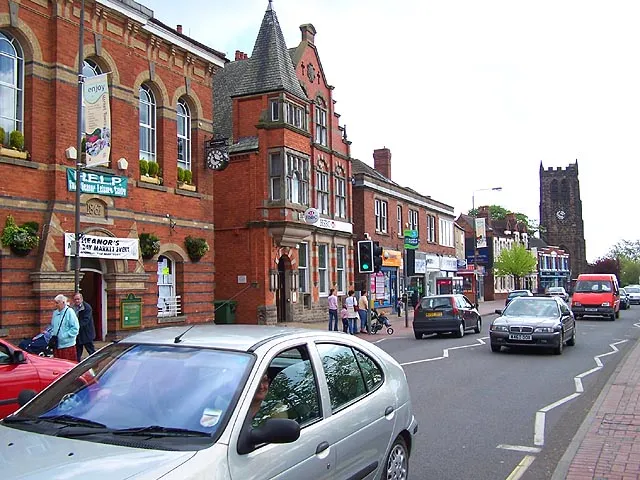 Heanor Town, Heanor and Loscoe8.5 km N
-
South Derbyshire District Municipality, Derbyshire17 km SW
-
West Hallam Town, West Hallam3.7 km N
-
Borrowash Town, Ockbrook and Borrowash3.9 km SW
-
Ripley Town, Ripley11 km N
Sources & licences
Data last updated: