Cut Hill
Located in Dartmoor Forest, West Devon District Coordinates: 50°37′39″ N 3°59′00″ W
- Elevation
- 604 m
- above sea level
- Local time
- UTC+00:00
- Europe/London · UTC+00:00
About Cut Hill
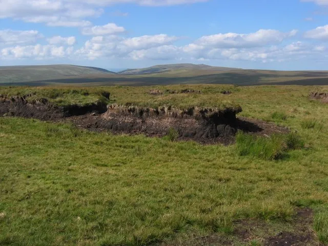
Cut Hill is a mountain. Location: Dartmoor Forest, West Devon District. Elevation: 604 m.
Cut Hill is a hill in North Dartmoor in the southwest English county of Devon. At 603 metres high, it is the joint third highest peak in Devon and Dartmoor, together with Hangingstone Hill, which lies around 4 kilometres to the northeast. The hill lies within the military training area on Dartmoor and is not accessible to the public except at certain times. It is one of Dartmoor's remoter spots and is a good hour and a half walk from Postbridge.
Read more on Wikipedia Text: Wikipedia contributors · CC BY-SA 4.0 · shortened
At a glance
- Topographic prominence
- 90 m
Source: Wikidata
In comparison
- No. 3177 of 18223 mountains in United Kingdom by elevation
- 43 sights and natural places within 10 km Black Hill, Brown's House Top
Nearest towns and villages
-
Postbridge Village, Dartmoor Forest6.3 km SE
-
Princetown Village, Dartmoor Forest9.3 km S
-
Two Bridges Village, Dartmoor Forest7.9 km S
-
Peter Tavy Village, West Devon District7.3 km SW
-
Rundlestone Village, Dartmoor Forest8.1 km S
-
Pizwell Village, Dartmoor Forest8.2 km SE
Nearby attractions & nature
Everything nearby-
Black Hill Mountain, Dartmoor Forest2 km N
-
Brown's House Top Mountain, Dartmoor Forest2.8 km SE
-
Sittaford Tor Mountain, Dartmoor Forest3.5 km E
-
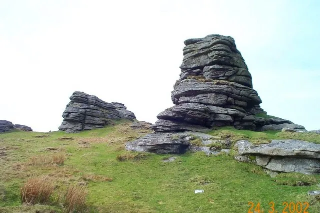 Great Links Tor Mountain, Lydford5.3 km NW
-
Hangingstone Hill Mountain, Dartmoor Forest3.9 km NE
-
Higher White Tor Mountain, Dartmoor Forest4.7 km SE
-
Hare Tor Mountain, Peter Tavy5 km W
-
White Ridge Mountain, Dartmoor Forest5.1 km E
Sources & licences
Data last updated: · 2 independent sources