Purbeck District
Located in Dorset, England Coordinates: 50°41′03″ N 2°07′26″ W
- Population
- 46,336
- 46.3K
- Elevation
- 14 m
- above sea level
- Local time
- UTC+00:00
- Europe/London · UTC+00:00
- Places inside
- 28
- listed under Purbeck District
About Purbeck District
Purbeck District is a municipality. Location: Dorset, England. Population: 46,336. Elevation: 14 m.
In comparison
- No. 5 of 5 places in Dorset by population
- Nearest larger town: Poole, 10 km E
- 38 sights and natural places within 10 km Wareham Castle, Arne
- Listed here: Village: 28
Places in Purbeck District
28 places-
Affpuddle Village
-
Arne Village
-
Bere Regis Village
-
Bloxworth Village
-
Chaldon Herring Village
-
Church Knowle Village
-
Coombe Keynes Village
-
Corfe Castle Village
-
East Holme Village
-
East Lulworth Village
-
East Stoke Village
-
Kimmeridge Village
-
Langton Matravers Village
-
Lytchett Matravers Village
-
Lytchett Minster and Upton Village
-
Morden Village
-
Moreton Village
-
Steeple Village
-
Studland Village
-
Swanage Village
-
Turners Puddle Village
-
Tyneham Village
-
Wareham Village
-
Wareham St. Martin Village
-
West Lulworth Village
-
Winfrith Newburgh Village
-
Wool Village
-
Worth Matravers Village
Nearby attractions & nature
Everything nearby-
River Frome River, England3 km E
-
River Piddle River, England4.1 km E
-
Brownsea Island Island, Dorset11 km E
-
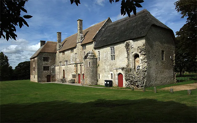 Woodsford Castle Historic site, Woodsford16 km W
-
 Dean Court Landmark, Christchurch District21 km E
-
Upton Lake Lake, Bournemouth, Christchurch and Poole9.9 km NE
-
The Pinnacle Mountain, Dorset15 km E
-
Upton Heath Mountain, Corfe Mullen11 km NE
Other cities and towns in Dorset
-
Wareham Town, Wareham1 km NE
-
East Dorset District Municipality, Dorset23 km NE
-
Weymouth and Portland District Municipality, Dorset25 km W
-
North Dorset District Municipality, Dorset28 km N
-
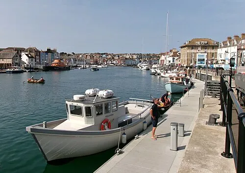 Weymouth Town, Weymouth and Portland District25 km W
-
West Dorset District Municipality, Dorset36 km W
Sources & licences
Data last updated: