Halesowen
Located in Dudley, England Coordinates: 52°26′55″ N 2°02′58″ W
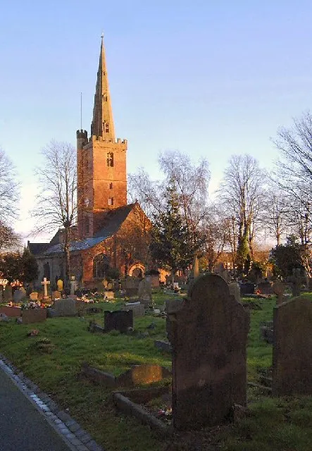
- Population
- 60,097
- 60.1K
- Elevation
- 128 m
- above sea level
- Local time
- UTC+00:00
- Europe/London · UTC+00:00
About Halesowen
Halesowen is a town. Location: Dudley, England. Population: 60,097. Elevation: 128 m.
Halesowen ( haylz-OH-in) is a market town in the Metropolitan Borough of Dudley, in the county of the West Midlands, England. Historically an exclave of Shropshire and, from 1844, in Worcestershire, the town is around 7 miles (11 km) from Birmingham city centre, and 6 miles (10 km) from Dudley town centre. The population of the Halesowen built-up area at the 2021 census, was 60,110. Halesowen is in the Halesowen parliamentary constituency. It has been represented by Labour MP Alex Ballinger since 4 July 2024.
Read more on Wikipedia Text: Wikipedia contributors · CC BY-SA 4.0 · shortened
At a glance
- Area
- 15.1 km²
Source: Wikidata
In comparison
- No. 2 of 9 places in Dudley by population
- Nearest larger town: Dudley, 6 km N
- 29 sights and natural places within 10 km The Leasowes, The Four Stones
Nearby attractions & nature
Everything nearby-
The Leasowes Natural site, Dudley1.1 km NE
-
Wychbury Hill Mountain, Dudley5 km W
-
Withymoor Island Island, Dudley4.6 km NW
-
The Four Stones Mountain, Clent4.2 km SW
-
Walton Hill Mountain, Clent4.4 km SW
-
Warley Park Mountain, Sandwell4.8 km NE
-
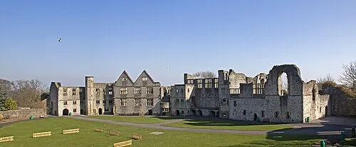 Dudley Castle Historic site, Dudley7.6 km N
-
Frankley Beeches Mountain, Frankley4.4 km SE
Other cities and towns in Dudley
-
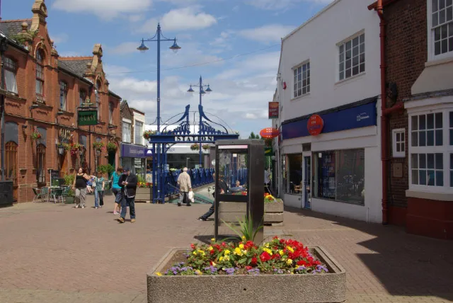 Stourbridge Town, Dudley6.4 km W
-
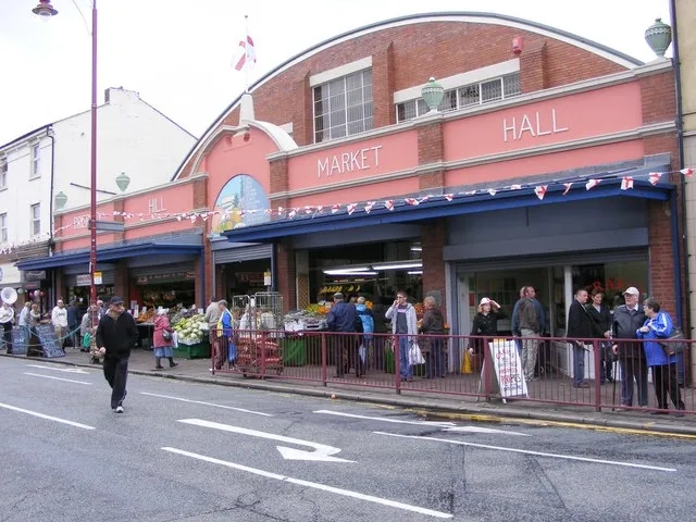 Brierley Hill Town, Dudley6.1 km NW
-
Dudley City, Dudley6.2 km N
-
 Kingswinford Town, Dudley9.8 km NW
Sources & licences
Data last updated: · 2 independent sources