Warley Park
Located in Sandwell, England Coordinates: 52°28′09″ N 1°59′17″ W
- Elevation
- 236 m
- above sea level
- Local time
- UTC+00:00
- Europe/London · UTC+00:00
About Warley Park
Warley Park is a mountain. Location: Sandwell, England. Elevation: 236 m.
In comparison
- No. 11680 of 18223 mountains in United Kingdom by elevation
- 29 sights and natural places within 10 km Weoley Castle, The Leasowes
Nearest towns and villages
-
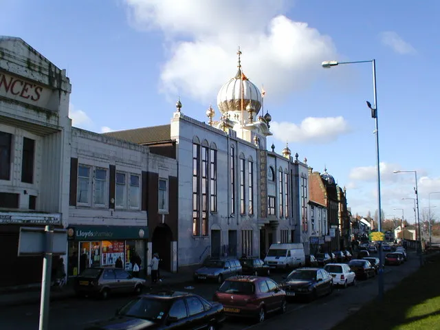 Smethwick Town, Sandwell3 km NE
-
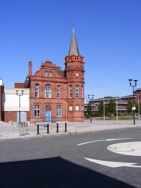 Oldbury City, Sandwell3.9 km NW
-
Warley Village, Sandwell0.6 km W
-
Bartley Green Town, Birmingham3.8 km S
-
Rowley Regis Village, Sandwell4.1 km W
-
Hilltop Neighbourhood, Sandwell1.5 km NW
Nearby attractions & nature
Everything nearby-
The Leasowes Natural site, Dudley3.7 km SW
-
Bromford Stop Island, Sandwell4.4 km N
-
Turner's Hill Mountain, Sandwell5.1 km NW
-
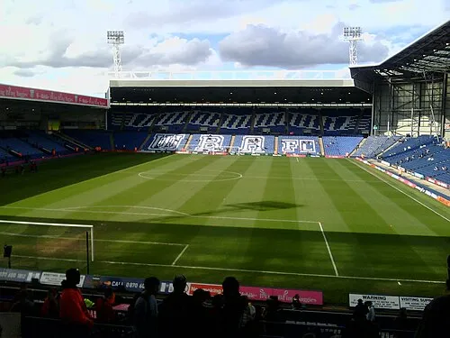 The Hawthorns Landmark, Sandwell4.8 km N
-
Dartmouth Park Natural site, Sandwell5.6 km N
-
Frankley Beeches Mountain, Frankley6.2 km S
-
Weoley Castle Historic site, Birmingham3.2 km SE
-
Cawney Hill Mountain, Dudley6.9 km NW
Sources & licences
Data last updated: