- Local time
- UTC+00:00
- Europe/London · UTC+00:00
- Elevation
- 168 m
- above sea level
- Airports
- BHX Birmingham Airport16 km
- EMA East Midlands Airport56 km
About The Hawthorns
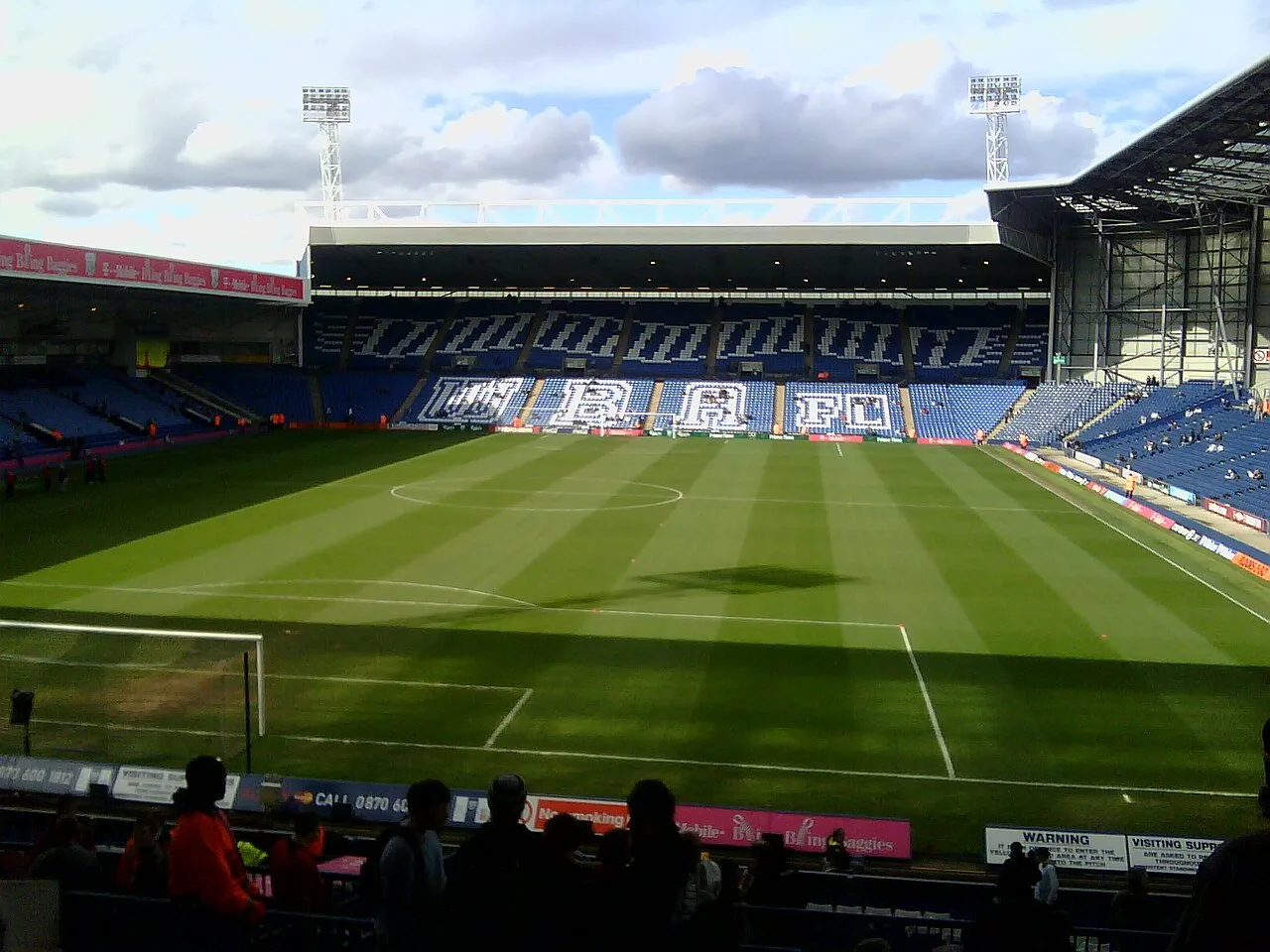
The Hawthorns is a landmark. Location: Sandwell, England.
The Hawthorns is an all-seater football stadium in West Bromwich, in the Black Country borough of Sandwell, West Midlands, England, with a capacity of 27,087. It has been the home of Championship club West Bromwich Albion since 1900, when it became the sixth ground to be used by the club. The Hawthorns was the first Football League ground to be built in the 20th century, opening in September 1900 after construction work took only 4 months.
Source: Wikipedia · CC BY-SA 4.0
At a glance
- Built
- 1900
- Opened
- 1900
Source: Wikidata
Climate of The Hawthorns
Best months for sightseeingBest months for sightseeing: June–August.
This month · November
A cold month
Day 9° · Night 3° · Rain 85 mm
- Hottest month
- July (day 20°)
- Coldest month
- February (night 1°)
- Wettest month
- December (86 mm)
- Driest month
- April (57 mm)
Bars: average monthly low and high temperature. Below: precipitation. Monthly averages for 1970–2000 at about 18 km resolution, adjusted for elevation. Highlighted months are mild and relatively dry. Source: WorldClim 2.1 (CC BY 4.0).
Show values as a table
| Month | Jan | Feb | Mar | Apr | May | Jun | Jul | Aug | Sep | Oct | Nov | Dec |
|---|---|---|---|---|---|---|---|---|---|---|---|---|
| Average high (°C) | 6° | 6° | 9° | 11° | 15° | 18° | 20° | 20° | 17° | 13° | 9° | 7° |
| Average low (°C) | 1° | 1° | 2° | 3° | 6° | 9° | 11° | 11° | 9° | 6° | 3° | 2° |
| Precipitation (mm) | 83 | 60 | 66 | 57 | 60 | 71 | 60 | 75 | 72 | 78 | 85 | 86 |
How to get to The Hawthorns
The nearest airport is Birmingham Airport (BHX), 16 km to the southeast as the crow flies. The nearest large city is West Bromwich, 2 km to the northwest.
Airports
- Birmingham Airport (BHX) Birmingham, West Midlands 16 kmsoutheast
- East Midlands Airport (EMA) Nottingham, Leicestershire 56 kmnortheast
- Manchester Airport (MAN) Manchester, Greater Manchester 96 kmnorth
Nearby large cities
- West Bromwich Population: 103.1K 2 kmnorthwest
- Birmingham Population: 1.2M 5 kmsoutheast
- Dudley Population: 199.1K 8 kmwest
- Walsall Population: 172.1K 8 kmnorth
- Sutton Coldfield Population: 109.9K 12 kmnortheast
Straight-line distances; road distances are longer. Airport data: OurAirports.
Nearby attractions & nature
Everything nearby-
Dartmouth Park Natural site, Sandwell1.5 km NW
-
Bromford Stop Island, Sandwell2.9 km W
-
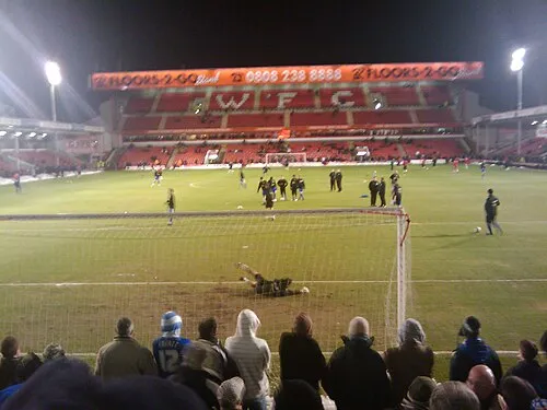 Bescot Stadium Landmark, Walsall6.4 km N
-
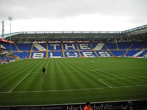 St Andrew's Landmark, Birmingham7.6 km SE
-
Birmingham BT Tower Landmark, Birmingham5 km SE
-
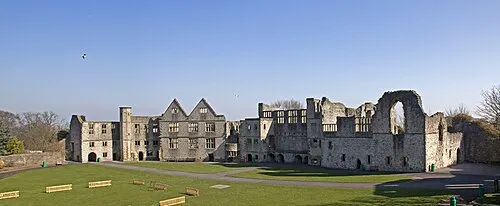 Dudley Castle Historic site, Dudley7.8 km W
-
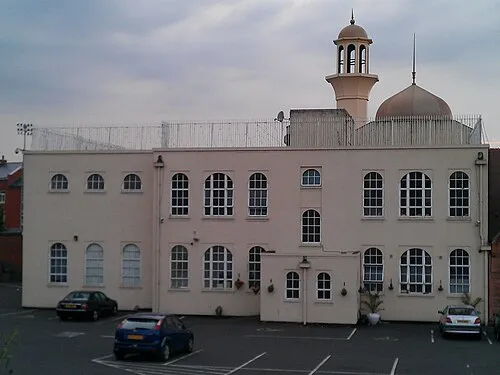 Darul Barakaat Mosque Attraction, Birmingham7.7 km SE
-
Villa Park Landmark, Birmingham5.3 km E
Nearest towns and villages
-
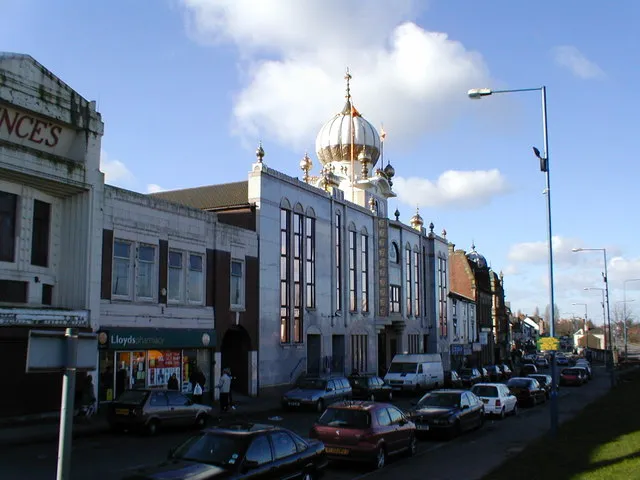 Smethwick Town, Sandwell1.9 km S
-
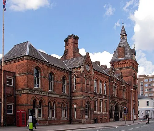 West Bromwich City, Sandwell2.3 km NW
-
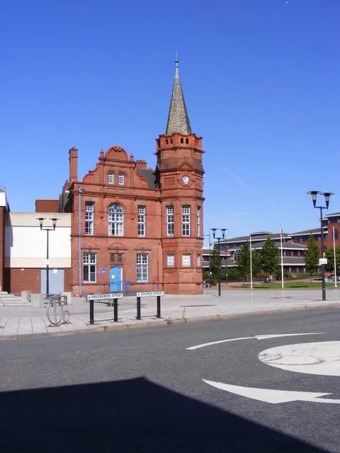 Oldbury City, Sandwell3.7 km W
-
Hockley Neighbourhood, Birmingham3.4 km E
Sources & licences
Data last updated: · 2 independent sources