Edmondbyers
Located in Durham, England Coordinates: 54°50′03″ N 2°00′16″ W
- Elevation
- 251 m
- above sea level
- Local time
- UTC+00:00
- Europe/London · UTC+00:00
- Places inside
- 2
- listed under Edmondbyers
About Edmondbyers
Edmondbyers is a municipality. Location: Durham, England. Elevation: 251 m.
In comparison
- Nearest larger town: Castleside, 8 km E
- 10 sights and natural places within 10 km Beldon Burn River, Horseshoe Hill
- Listed here: Village: 2
Places in Edmondbyers
2 places-
Edmondbyers Village
-
Ruffside Village
Nearby attractions & nature
Everything nearby-
Beldon Burn River River, England4 km W
-
Horseshoe Hill Mountain, Stanhope4.2 km S
-
Hunstanworth Tower Landmark, Hunstanworth4.9 km W
-
Cobby Castle Historic site, Durham17 km SE
-
Bolt's Law Mountain, Hunstanworth6.5 km SW
-
Hole Row Tower Landmark, Shotley Low Quarter7.9 km E
-
Collier Law Mountain, LCPs of Stanhope, Wolsingham and Tow Law7.3 km S
-
Hope Fell Mountain, Blanchland7.4 km W
Other cities and towns in Durham
-
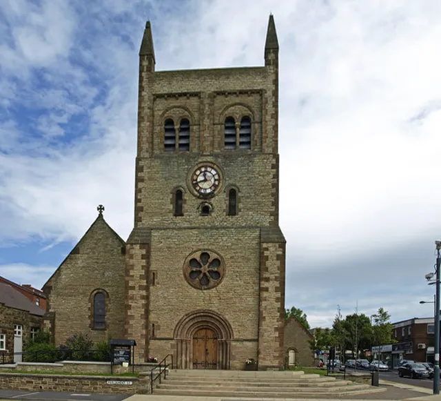 Consett Town, Healeyfield11 km E
-
Healeyfield Municipality, Durham9.2 km E
-
LCPs of Stanhope, Wolsingham and Tow Law Municipality, Durham8.8 km SE
-
Crook Town, Durham21 km SE
-
Stanhope Municipality, Durham13 km SW
-
Satley Municipality, Durham13 km SE
Sources & licences
Data last updated: