Lamesley
Located in Gateshead, England Coordinates: 54°54′26″ N 1°37′09″ W
- Elevation
- 35 m
- above sea level
- Local time
- UTC+00:00
- Europe/London · UTC+00:00
- Places inside
- 12
- listed under Lamesley
About Lamesley
Lamesley is a municipality. Location: Gateshead, England. Elevation: 35 m.
In comparison
- Nearest larger town: Lamesley, 1 km NE
- 36 sights and natural places within 10 km Angel of the North, Burdon Moor
- Listed here: Village: 5, Landmark: 4, Mountain: 1, Neighbourhood: 1
Places in Lamesley
12 places-
Felling Town34.4K
-
Sheriff Hill Village5.1K
-
Lamesley Village3.9K
-
Angel of the North Landmark
-
Burdon Moor Mountain
-
Eighton Banks Neighbourhood
-
Gateshead International Stadium Landmark
-
Kibblesworth Village
-
Low Eighton Village
-
Old Ravensworth Village
-
Wrekenton transmitter, Mast East Landmark
-
Wrekenton transmitter, Mast West Landmark
Nearby attractions & nature
Everything nearby-
Sheriff Hill Mountain, Gateshead4 km NE
-
Match Island Island, Gateshead3.7 km E
-
Pockerley Pele Landmark, Urpeth3.4 km SW
-
 Tyne Bridge Landmark, Gateshead6.8 km N
-
Whitehills Mountain, Gateshead4.5 km NE
-
Blackmoor Hill Mountain, Gateshead5.1 km W
-
Beamish Museum Museum, Urpeth4 km SW
-
 Discovery Museum Museum, Newcastle upon Tyne6.9 km N
Other cities and towns in Gateshead
-
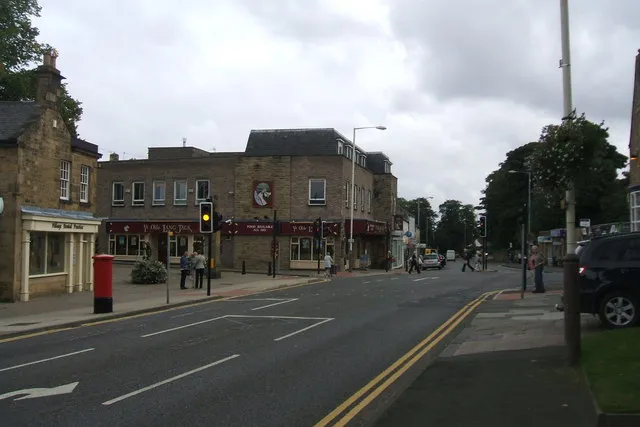 Whickham Town, Gateshead5.6 km NW
-
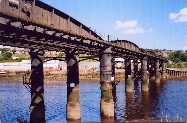 Blaydon Town, Gateshead8.8 km NW
-
Gateshead City, Gateshead6.2 km N
-
Rowlands Gill Town, Gateshead8.2 km W
Sources & licences
Data last updated: