Brilley
Located in Herefordshire, England Coordinates: 52°08′21″ N 3°05′25″ W
- Elevation
- 224 m
- above sea level
- Local time
- UTC+00:00
- Europe/London · UTC+00:00
- Places inside
- 7
- listed under Brilley
About Brilley
Brilley is a municipality. Location: Herefordshire, England. Elevation: 224 m.
In comparison
- Nearest larger town: Eardisley, 6 km E
- 70 sights and natural places within 10 km Brilley Green Motte, Huntington Mound
- Listed here: Village: 4, Historic site: 2, Mountain: 1
Airports nearest to Brilley
- Cardiff International Airport (CWL) Cardiff 84 km
- Bristol Airport (BRS) Bristol 88 km
- Birmingham Airport (BHX) Birmingham, West Midlands 98 km
Straight-line distance; airports with scheduled flights only. Source: OurAirports (public domain).
Places in Brilley
7 places-
Brilley Village
-
Cwmma Tump Historic site
-
Little Merthyr Village
-
Pentre-Jack Village
-
Pen-twyn Camp Mountain
-
Rhydspence Village
-
Welshwood Farm Historic site
Nearby attractions & nature
Everything nearby-
Brilley Green Motte Historic site, Whitney-on-Wye2 km SE
-
Huntington Mound Historic site, Huntington2.2 km N
-
Turret Tump Historic site, Huntington2.7 km N
-
Mound North of Clifford Historic site, Clifford3.3 km S
-
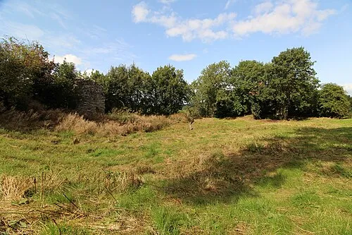 Huntington Castle Historic site, Huntington4.3 km N
-
Turret Castle Historic site, Huntington3.9 km N
-
Red Hill Mountain, Huntington3.5 km N
-
Little Mountain Mountain, Gladestry3.7 km W
Sources & licences
Data last updated: