Willersley and Winforton
Located in Herefordshire, England Coordinates: 52°06′59″ N 3°01′17″ W
- Elevation
- 70 m
- above sea level
- Local time
- UTC+00:00
- Europe/London · UTC+00:00
- Places inside
- 2
- listed under Willersley and Winforton
- Airports
- CWL Cardiff International Airport83 km
- BRS Bristol Airport84 km
About Willersley and Winforton
Willersley and Winforton is a municipality. Location: Herefordshire, England. Elevation: 70 m. The best months to visit are June–August. The nearest airport is Cardiff International Airport (83 km). Nearby sights include Eardisley Castle and Merbach Hill.
Photos of Willersley and Winforton
-
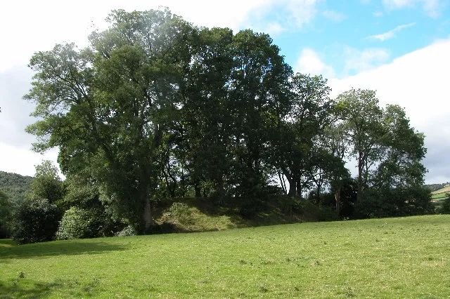
Dorstone Castle Philip Halling · CC BY-SA 2.0 -
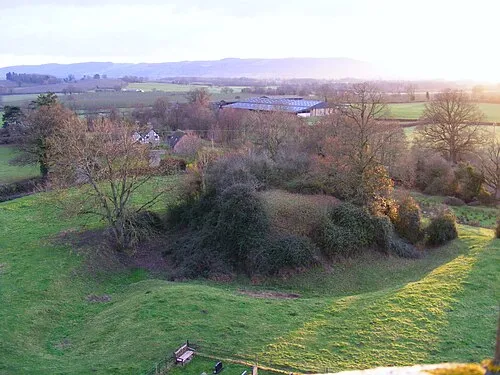
Almeley Castle R J Higginson · CC BY-SA 3.0 -
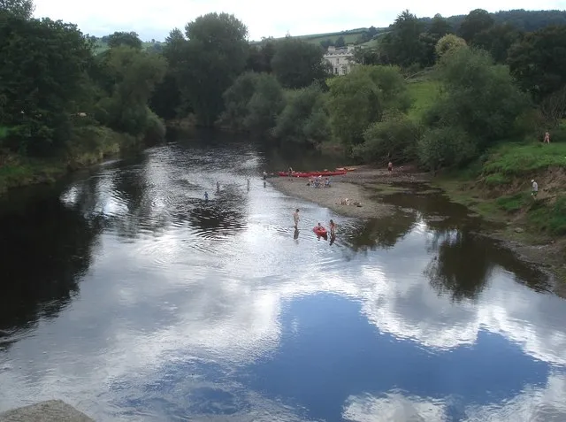
Bredwardine Oldcastle Trevor Rickard · CC BY-SA 2.0 -
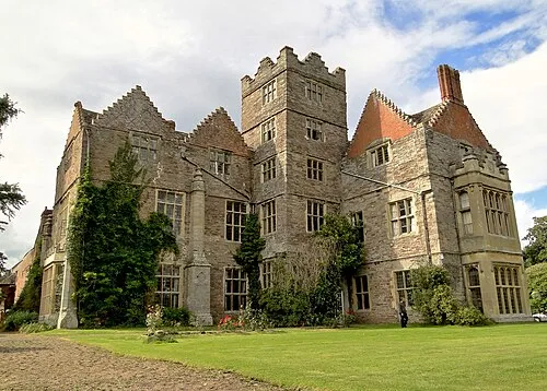
Kinnersley Castle Philip Pankhurst · CC BY-SA 2.0 -
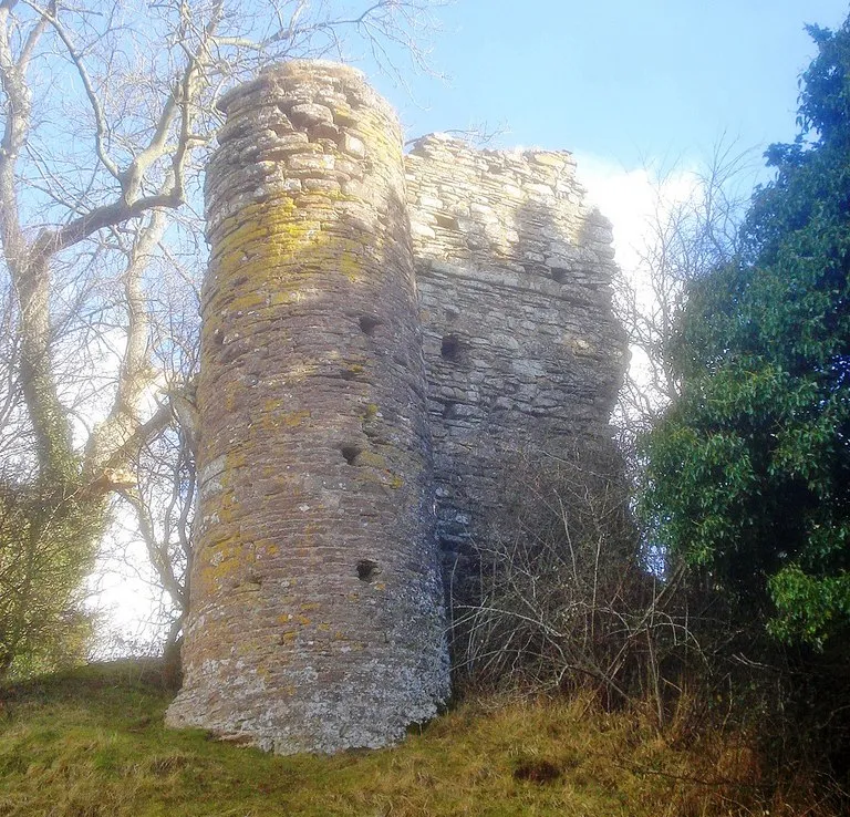
Snodhill Castle original: Trevor Rickard derivative work: Paravane · CC BY-SA 2.0


Climate of Willersley and Winforton
Best months for sightseeingBest months for sightseeing: June–August.
This month · November
A wet month
Day 10° · Night 5° · Rain 115 mm
- Hottest month
- July (day 21°)
- Coldest month
- February (night 2°)
- Wettest month
- January (128 mm)
- Driest month
- July (58 mm)
Bars: average monthly low and high temperature. Below: precipitation. Monthly averages for 1970–2000 at about 18 km resolution, adjusted for elevation. Highlighted months are mild and relatively dry. Source: WorldClim 2.1 (CC BY 4.0).
Show values as a table
| Month | Jan | Feb | Mar | Apr | May | Jun | Jul | Aug | Sep | Oct | Nov | Dec |
|---|---|---|---|---|---|---|---|---|---|---|---|---|
| Average high (°C) | 7° | 7° | 10° | 12° | 16° | 19° | 21° | 21° | 17° | 14° | 10° | 8° |
| Average low (°C) | 2° | 2° | 3° | 4° | 7° | 10° | 12° | 12° | 10° | 7° | 5° | 3° |
| Precipitation (mm) | 128 | 90 | 94 | 71 | 67 | 73 | 58 | 82 | 93 | 105 | 115 | 127 |
How to get to Willersley and Winforton
The nearest airport is Cardiff International Airport (CWL), 83 km to the south as the crow flies. The nearest large city is Worcester, 55 km to the east.
Airports
- Cardiff International Airport (CWL) Cardiff 83 kmsouth
- Bristol Airport (BRS) Bristol 84 kmsouth
- Birmingham Airport (BHX) Birmingham, West Midlands 95 kmnortheast
Nearby large cities
- Worcester Population: 101.7K 55 kmeast
- Newport Population: 161.5K 59 kmsouth
- Gloucester Population: 132.4K 60 kmsoutheast
- Cheltenham Population: 118.8K 69 kmeast
- Cardiff Population: 372.1K 72 kmsouth
Straight-line distances; road distances are longer. Airport data: OurAirports.
Day trips from Willersley and Winforton
Within 100 km: 1,051 historic and cultural sites, 2,466 natural sites, 168 lakes, rivers and coasts.
0–25 km355 places
- Pen y Gader-fawr Mountain 20 kmS
- Hay Bluff Mountain 12 kmSW
- Black Mountains Mountain 18 kmS
- Waun Fach Mountain 19 kmSW
25–60 km1,346 places
- Alney Island Island 60 kmSE
- The Island Island 26 kmNE
- Bevere Island Island 55 kmE
- Pen-y-gareg Reservoir Lake 46 kmNW
60–100 km1,984 places
- Llangrannog's Beach Beach 99 kmW
- Ynys Lochtyn Island 99 kmW
- Steep Holm Island 87 kmS
- Flat Holm Island 82 kmS
Straight-line distances.
Places in Willersley and Winforton
2 places
Nearby attractions & nature
Everything nearby-
Eardisley Castle Historic site, Eardisley2.3 km NE
-
Merbach Hill Mountain, Clifford2.3 km S
-
Old Castleton Historic site, Clifford2.3 km SW
-
Brilley Green Motte Historic site, Whitney-on-Wye3.3 km NW
-
Bredwardine Oldcastle Historic site, Bredwardine4.2 km SE
-
Newton Tump Historic site, Clifford3 km S
-
The Knapp Historic site, Bredwardine3.2 km SE
-
Welshwood Farm Historic site, Brilley3.3 km NW
Sources & licences
Data last updated: