Hertfordshire
Located in England, United Kingdom Coordinates: 51°50′00″ N 0°15′00″ W
- Population
- 1,236,191
- 1.2M
- Elevation
- 107 m
- above sea level
- Local time
- UTC+00:00
- Europe/London · UTC+00:00
- Places inside
- 10
- listed under Hertfordshire
About Hertfordshire
Hertfordshire is a district. Location: England, United Kingdom. Population: 1,236,191.
In comparison
- 5 sights and natural places within 10 km Burnham Green, Broadhall Way
- Listed here: Municipality: 10
Airports nearest to Hertfordshire
- London Luton Airport (LTN) Luton, Luton 9 km
- London Stansted Airport (STN) London, Essex 34 km
- London City Airport (LCY) London 42 km
Straight-line distance; airports with scheduled flights only. Source: OurAirports (public domain).
Places in Hertfordshire
10 places-
Dacorum District Municipality152.7K
-
City and District of St. Albans Municipality146.3K
-
East Hertfordshire District Municipality146.3K
-
North Hertfordshire District Municipality132.7K
-
Welwyn Hatfield Municipality122K
-
Hertsmere District Municipality103.5K
-
Broxbourne District Municipality96.8K
-
Watford District Municipality96.8K
-
Three Rivers Municipality92.5K
-
Stevenage District Municipality87.1K
Nature and heritage in Hertfordshire
-
Cank Hill Mountain, Hexton
-
Bonfirehill Knoll Mountain, Hexton
-
Barton Hills Mountain, Hexton
-
Lion Hill Mountain, Hexton
-
Gravel Hill Mountain, Hexton
-
Butts Hill Mountain, Hexton
Nearby attractions & nature
Everything nearby-
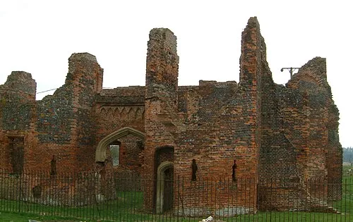 Someries Castle Historic site, Hyde9.5 km NW
-
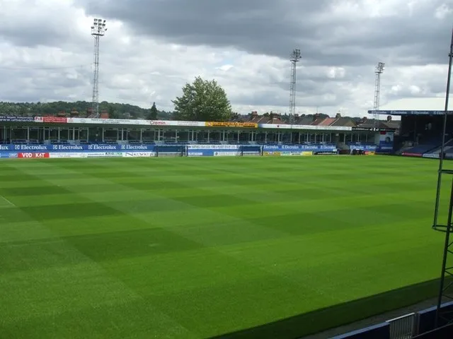 Kenilworth Road Landmark, Luton14 km NW
-
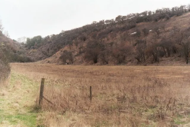 Smithcombe Valley Natural site, England19 km NW
-
Claypit Hole Natural site, England17 km NW
-
Watergutter Hole Natural site, England19 km NW
-
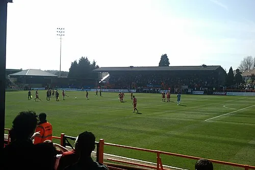 Underhill Stadium Landmark, Barnet21 km S
Sources & licences
Data last updated: