Hollow Ponds
Located in England, United Kingdom Coordinates: 51°34′47″ N 0°00′33″ E
- Elevation
- 34 m
- above sea level
- Local time
- UTC+00:00
- Europe/London · UTC+00:00
About Hollow Ponds
Hollow Ponds is a lake. Location: England, United Kingdom. Elevation: 34 m.
In comparison
- 86 sights and natural places within 10 km Elim Pentecostal Church, Leytonstone United Free Church
Nearest towns and villages
-
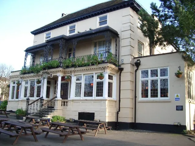 Snaresbrook Town, Redbridge0.9 km NE
-
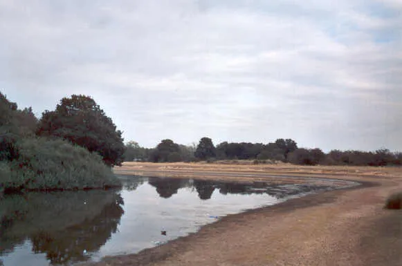 Wanstead Town, Redbridge1.1 km E
-
Leytonstone Neighbourhood, Waltham Forest1.2 km S
-
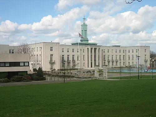 Walthamstow City, Waltham Forest2.4 km NW
-
Waltham Forest Municipality, Greater London3.3 km SW
-
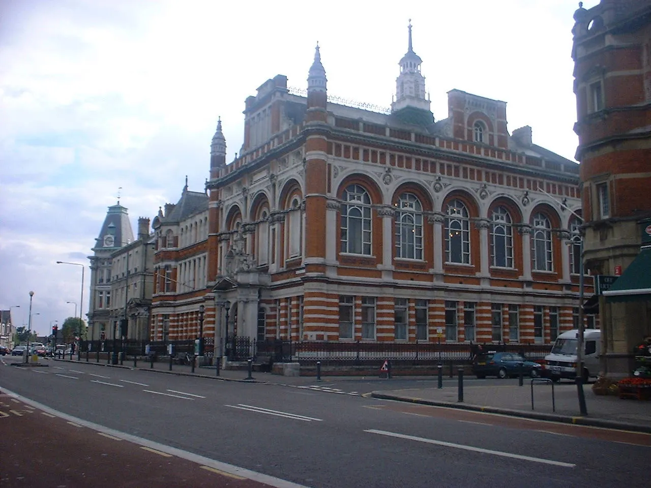 Leyton Town, Waltham Forest2.5 km SW
Nearby attractions & nature
Everything nearby-
Lincoln Island Island, Redbridge2.5 km E
-
Rook Island Island, Redbridge2.6 km SE
-
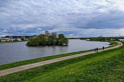 High Maynard Reservoir Lake, Waltham Forest4 km W
-
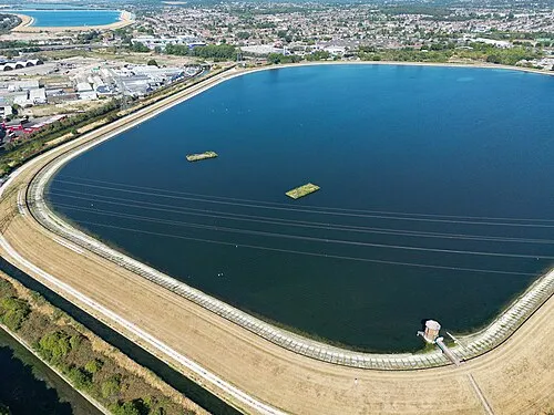 Banbury Reservoir Lake, Waltham Forest4.1 km NW
-
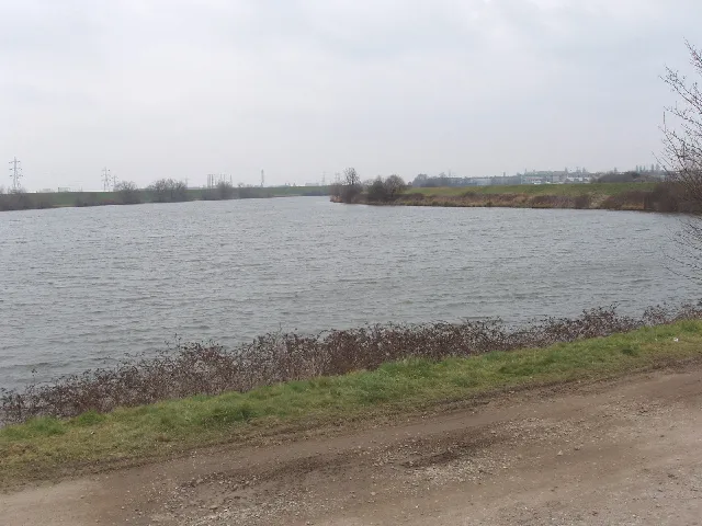 Low Maynard Reservoir Lake, Waltham Forest4.2 km W
-
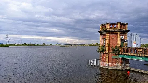 Lockwood Reservoir Lake, Waltham Forest4.3 km NW
-
Epping Forest Natural site, Waltham Forest2.8 km N
-
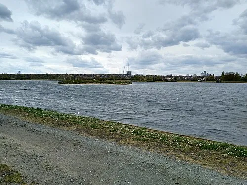 East Warwick Reservoir Lake, Waltham Forest4.5 km W
More lakes, rivers and coasts in United Kingdom
-
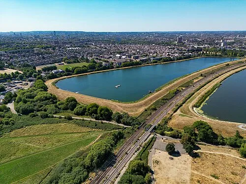 West Warwick Reservoir Lake, Waltham Forest4.7 km W
-
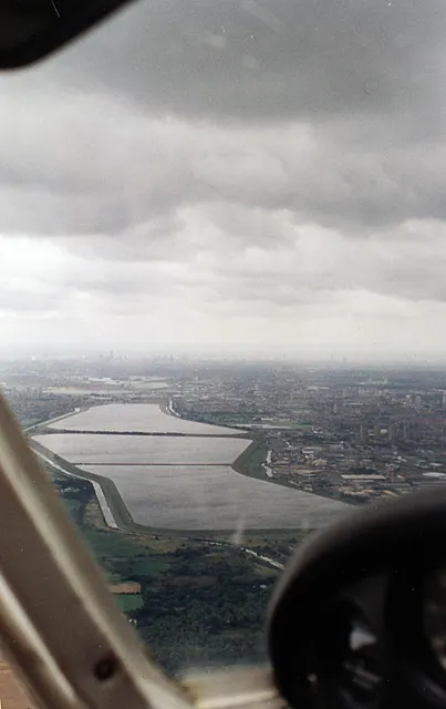 William Girling Reservoir Lake, Enfield6 km NW
-
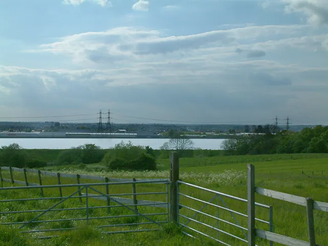 King George V Reservoir Lake, Enfield8 km N
-
Higham's Park Lake Lake, Waltham Forest3.4 km N
-
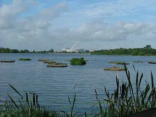 Welsh Harp Lake, Barnet18 km W
-
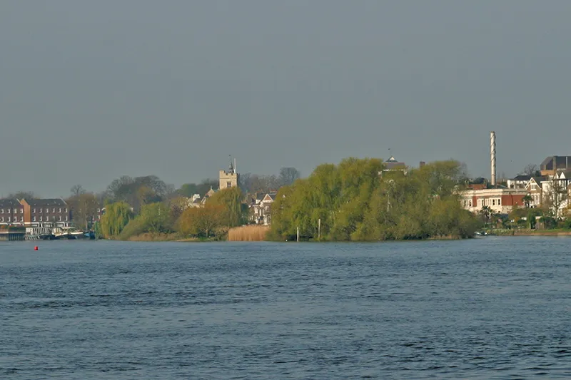 Chiswick Eyot Island, Hounslow20 km SW
Sources & licences
Data last updated: