- Elevation
- 5 m
- above sea level
- Local time
- UTC+00:00
- Europe/London · UTC+00:00
- Airports
- LHR London Heathrow Airport15 km
- LCY London City Airport21 km
About Chiswick Eyot
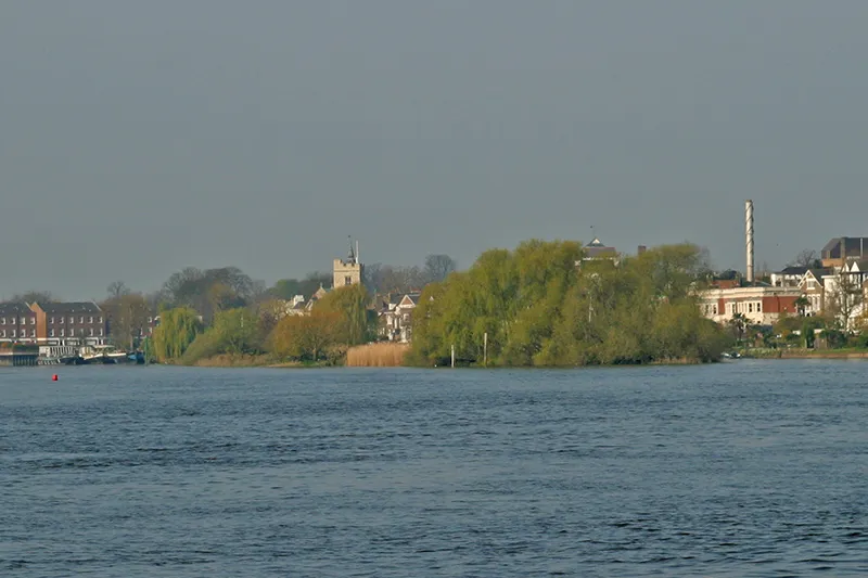
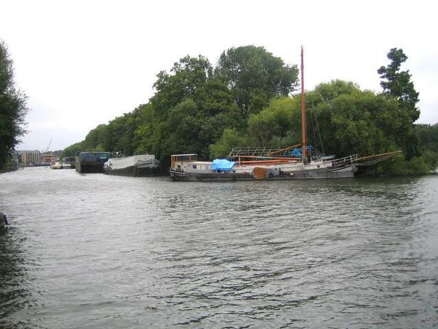
Chiswick Eyot is an island. Location: Hounslow, Greater London.
Chiswick Eyot is a 3.266-acre (1.3 ha) narrow, uninhabited ait (river island) of the Thames. It is a tree- and reed-covered rise on the Tideway by Chiswick, in London, England and is overlooked by Chiswick Mall and by some of the Barnes riverside on the far bank.
Source: Wikipedia · CC BY-SA 4.0
At a glance
- Length
- 0.3 km
- Area
- 1.1 ha
Source: Wikidata
Photos of Chiswick Eyot
-

DiscoA340 · CC BY-SA 4.0 -

Ian Alexander · CC BY-SA 4.0 -

James Emmans · CC BY-SA 2.0 -

Peter Trimming · CC BY-SA 2.0 -
Eel Pie Island Motmit · CC BY-SA 3.0


Climate of Chiswick Eyot
Best months for sightseeingBest months for sightseeing: June–August.
This month · November
A cold month
Day 11° · Night 5° · Rain 62 mm
- Hottest month
- July (day 23°)
- Coldest month
- February (night 2°)
- Wettest month
- January (63 mm)
- Driest month
- February (40 mm)
Bars: average monthly low and high temperature. Below: precipitation. Monthly averages for 1970–2000 at about 18 km resolution, adjusted for elevation. Highlighted months are mild and relatively dry. Source: WorldClim 2.1 (CC BY 4.0).
Show values as a table
| Month | Jan | Feb | Mar | Apr | May | Jun | Jul | Aug | Sep | Oct | Nov | Dec |
|---|---|---|---|---|---|---|---|---|---|---|---|---|
| Average high (°C) | 8° | 8° | 11° | 14° | 18° | 21° | 23° | 23° | 19° | 15° | 11° | 9° |
| Average low (°C) | 2° | 2° | 3° | 5° | 8° | 11° | 13° | 13° | 10° | 8° | 5° | 3° |
| Precipitation (mm) | 63 | 40 | 48 | 44 | 49 | 54 | 42 | 50 | 57 | 62 | 62 | 62 |
How to get to Chiswick Eyot
The nearest airport is London Heathrow Airport (LHR), 15 km to the west as the crow flies. The nearest large city is City of Westminster, 8 km to the east.
Airports
- London Heathrow Airport (LHR) London 15 kmwest
- London City Airport (LCY) London 21 kmeast
- London Gatwick Airport (LGW) London 38 kmsouth
Nearby large cities
- City of Westminster Population: 247.6K 8 kmeast
- London Population: 9M 9 kmeast
- Islington Population: 319.1K 11 kmnortheast
- Harrow Population: 149.2K 12 kmnorthwest
- Archway Population: 215.7K 12 kmnortheast
Straight-line distances; road distances are longer. Airport data: OurAirports.
Day trips from Chiswick Eyot
Within 100 km: 846 historic and cultural sites, 607 natural sites, 324 lakes, rivers and coasts.
0–25 km475 places
- White Hart Lane Landmark 18 kmNE
- Holm Island Island 20 kmW
- Sunbury Court Island 13 kmSW
- Rivermead Island 14 kmSW
25–60 km533 places
- Spotlites @ Kings Theatre Attraction 55 kmE
- The Lynch Island 45 kmW
- Canvey Island Island 58 kmE
- St Mary's Island Island 56 kmE
60–100 km769 places
- Portsea Island Natural site 96 kmSW
- Isle of Sheppey Island 76 kmE
- St Nicholas Church Shoreham Attraction 72 kmS
- The Marlipins Museum Museum 73 kmS
Straight-line distances.
Nearest towns and villages
-
 Chiswick Neighbourhood, Hounslow1 km NW
-
 Hammersmith Village, Hammersmith and Fulham1.4 km NE
-
Hammersmith and Fulham Municipality, Greater London1.4 km N
-
 Barnes Town, Richmond upon Thames1.6 km S
-
 Mortlake Town, Richmond upon Thames2.5 km SW
-
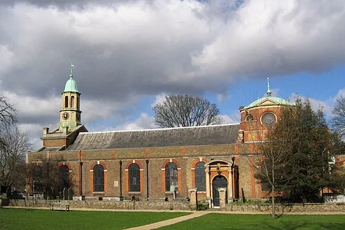 Kew Town, Richmond upon Thames3 km W
Nearby attractions & nature
Everything nearby-
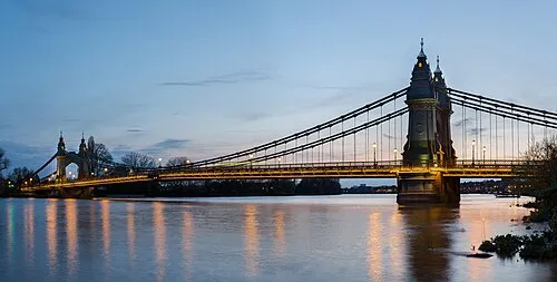 Hammersmith Bridge Landmark, Hammersmith and Fulham1.1 km E
-
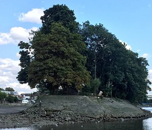 Oliver's Island Island, Hounslow2.5 km W
-
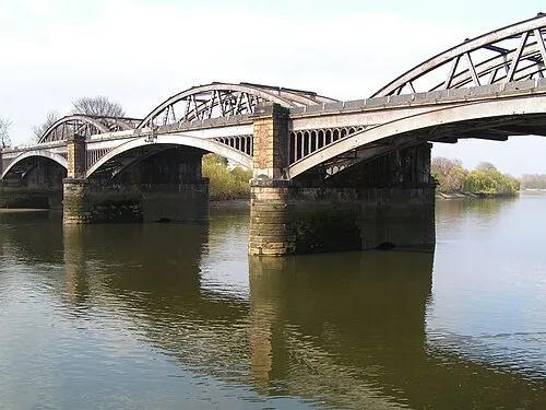 Barnes Railway Bridge Landmark, Hounslow1.7 km S
-
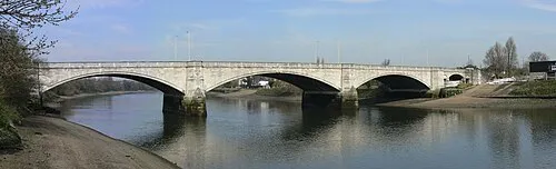 Chiswick Bridge Landmark, Hounslow2.3 km SW
-
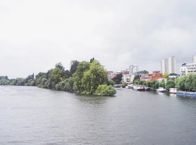 Brentford Ait Island, Richmond upon Thames3.4 km W
-
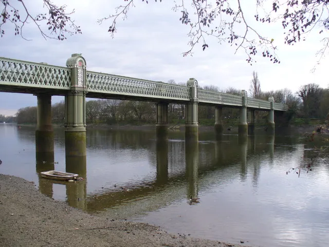 Kew Railway Bridge Landmark, Hounslow2.4 km W
-
 Craven Cottage Landmark, Hammersmith and Fulham2.2 km SE
-
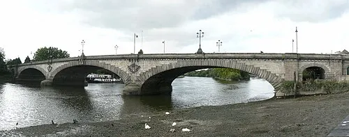 Kew Bridge Landmark, Hounslow2.9 km W
More lakes, rivers and coasts in United Kingdom
-
 Isleworth Eyot Island, Hounslow5.6 km W
-
Lot's Ait Island, Hounslow3.7 km W
-
Johnsons Island Island, Hounslow4.2 km W
-
River Thames River, Hounslow4.3 km W
Sources & licences
Data last updated: · 2 independent sources