Bobbing
Located in Swale District, Kent Coordinates: 51°21′23″ N 0°42′14″ E
- Elevation
- 38 m
- above sea level
- Local time
- UTC+00:00
- Europe/London · UTC+00:00
- Places inside
- 5
- listed under Bobbing
About Bobbing
Bobbing is a village. Location: Swale District, Kent. Elevation: 38 m.
In comparison
- Nearest larger town: Borden, 2 km S
- 11 sights and natural places within 10 km Bayford Court, Castle Rough
- Listed here: Village: 4, Neighbourhood: 1
Airports nearest to Bobbing
- London Southend Airport (SEN) Southend-on-Sea, Essex 24 km
- London City Airport (LCY) London 48 km
- London Gatwick Airport (LGW) London 66 km
Straight-line distance; airports with scheduled flights only. Source: OurAirports (public domain).
Places in Bobbing
5 places-
Bobbing Village
-
Cold Harbour Village
-
Grove Park Neighbourhood
-
Howt Green Village
-
Keycol Village
Nearby attractions & nature
Everything nearby-
Bayford Court Historic site, Swale District3.1 km SE
-
Castle Rough Historic site, Swale District3.5 km E
-
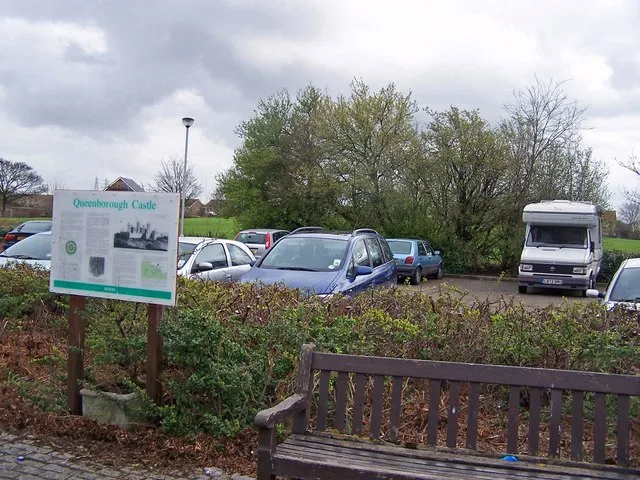 Queenborough Castle Historic site, Queenborough7.3 km NE
-
Tonge Castle Historic site, Tonge5.3 km E
-
Stockbury Castle Historic site, Stockbury5.3 km SW
-
Otterham Creek River, England5.8 km NW
Sources & licences
Data last updated: