Swale District
Located in Kent, England Coordinates: 51°20′10″ N 0°48′38″ E
- Population
- 145,042
- 145K
- Elevation
- 7 m
- above sea level
- Local time
- UTC+00:00
- Europe/London · UTC+00:00
- Places inside
- 52
- listed under Swale District
About Swale District
Swale District is a municipality. Location: Kent, England. Population: 145,042. Elevation: 7 m.
In comparison
- No. 3 of 17 places in Kent by population
- Nearest larger town: City of Canterbury, 20 km E
- 9 sights and natural places within 10 km Tonge Castle, Fowley Island
- Listed here: Village: 41, Neighbourhood: 6, Historic site: 2, Town: 2
Places in Swale District
52 places-
Sittingbourne Town54.4K
-
Sheerness Town13.2K
-
Badlesmere Village
-
Bapchild Village
-
Bayford Court Historic site
-
Blue Town Neighbourhood
-
Bobbing Village
-
Borden Village
-
Boughton under Blean Village
-
Bredgar Village
-
Castle Rough Historic site
-
Chalkwell Neighbourhood
-
Doddington Village
-
Dunkirk Village
-
Eastchurch Village
-
Eastling Village
-
Faversham Village
-
Graveney with Goodnestone Village
-
Halfway Houses Village
-
Hartlip Village
-
Hernhill Village
-
Holy Trinity Church Attraction
-
Iwade Village
-
Kemsley Neighbourhood
-
Leaveland Village
-
Leysdown Village
-
Lower Halstow Village
-
Luddenham Village
-
Lynsted with Kingsdown Village
-
Marine Town Neighbourhood
-
Mile Town Neighbourhood
-
Milstead Village
-
Milton Regis Village
-
Minster-on-Sea Village
-
Murston Village
-
Newington Village
-
Newnham Village
-
Norton, Buckland and Stone Village
-
Oare Village
-
Ospringe Village
-
Queenborough Village
-
Rodmersham Village
-
Selling Village
-
Sheldwich Village
-
Snipeshill Neighbourhood
-
Stalisfield Village
-
Teynham Village
-
Throwley Village
-
Tonge Village
-
Tunstall Village
-
Upchurch Village
-
Warden Village
Nearby attractions & nature
Everything nearby-
Elmley Island Island, England5.3 km N
-
Isle of Sheppey Island, England7.3 km N
-
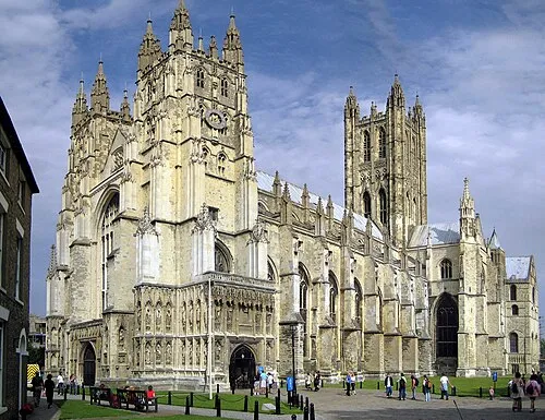 Canterbury Cathedral Attraction, City of Canterbury20 km E
-
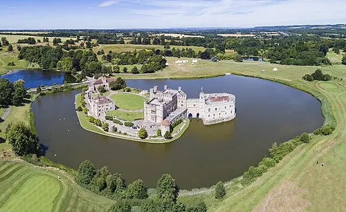 Leeds Castle Historic site, Broomfield and Kingswood16 km SW
-
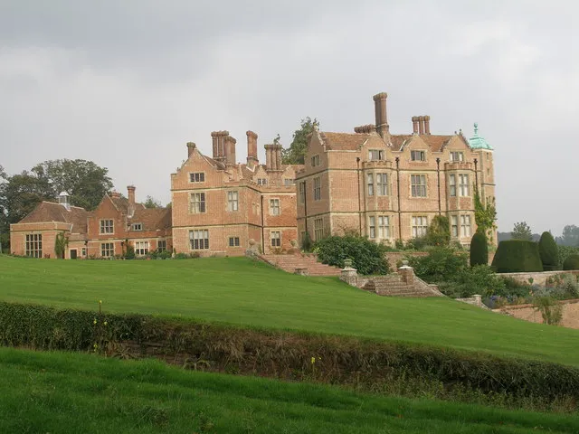 Chilham Castle Historic site, Chilham15 km SE
-
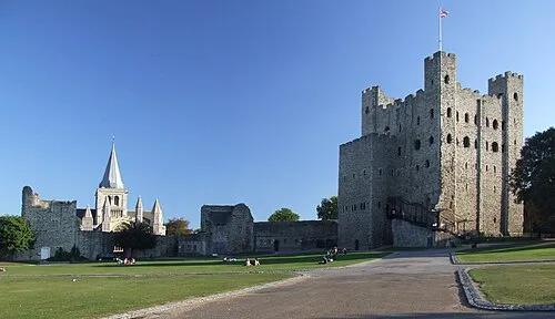 Rochester Castle Historic site, Medway22 km W
-
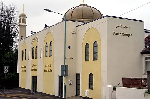 Nasir Mosque Attraction, Medway19 km W
-
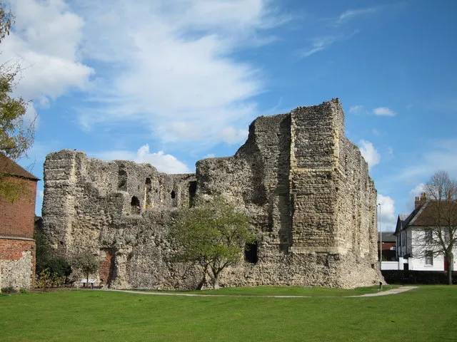 Canterbury Castle Historic site, City of Canterbury20 km E
Other cities and towns in Kent
-
City of Canterbury Municipality, Kent20 km E
-
Maidstone Municipality, Kent21 km W
-
Faversham Town, Faversham5.9 km SE
-
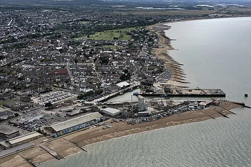 Whitstable Town, City of Canterbury15 km E
-
 Canterbury Town, City of Canterbury20 km E
-
Ashford Municipality, Kent23 km S
Sources & licences
Data last updated: