Ashford
Located in Kent, England Coordinates: 51°07′45″ N 0°48′41″ E
- Population
- 126,151
- 126.2K
- Elevation
- 42 m
- above sea level
- Local time
- UTC+00:00
- Europe/London · UTC+00:00
- Places inside
- 55
- listed under Ashford
About Ashford
Ashford is a municipality. Location: Kent, England. Population: 126,151. Elevation: 42 m.
In comparison
- No. 7 of 17 places in Kent by population
- Nearest larger town: Swale District, 23 km N
- 2 sights and natural places within 10 km Goldwell Hill, Kenardington
- Listed here: Village: 48, Neighbourhood: 6, Town: 1
Places in Ashford
55 places-
Ashford Town62.8K
-
Kennington Village4.2K
-
Aldington Village
-
Appledore Village
-
Barrow Hill Neighbourhood
-
Beaver Neighbourhood
-
Bethersden Village
-
Biddenden Village
-
Bilsington Village
-
Bockhanger Neighbourhood
-
Bonnington Village
-
Boughton Aluph Village
-
Brabourne Village
-
Brook Village
-
Brookfield Neighbourhood
-
Bybrook Neighbourhood
-
Challock Village
-
Charing Village
-
Chilham Village
-
Crundale Village
-
Eastwell Village
-
Egerton Village
-
Godmersham Village
-
Great Chart with Singleton Village
-
Hastingleigh Village
-
High Halden Village
-
Hinxhill Park Village
-
Hothfield Village
-
Kenardington Village
-
Kingsnorth Village
-
Little Chart Village
-
Mersham Village
-
Molash Village
-
Newenden Village
-
Orlestone Village
-
Pluckley Village
-
Potters Corner Village
-
Rolvenden Village
-
Ruckinge Village
-
Sevington Village
-
Shadoxhurst Village
-
Smarden Village
-
Smeeth Village
-
South Willesborough Neighbourhood
-
Stanhope Village
-
St George's Square Village
-
Stone-cum-Ebony Village
-
Tenterden Village
-
Warehorne Village
-
Westwell Village
-
Willesborough Village
-
Willesborough Lees Village
-
Wittersham Village
-
Woodchurch Village
-
Wye with Hinxhill Village
Nearby attractions & nature
Everything nearby-
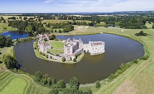 Leeds Castle Historic site, Broomfield and Kingswood18 km NW
-
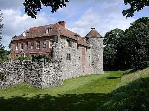 Westenhanger Castle Historic site, Stanford16 km E
-
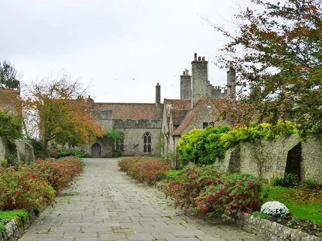 Lympne Castle Historic site, Lympne16 km SE
-
Coldbridge Castle Historic site, Boughton Malherbe11 km NW
-
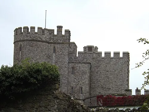 Saltwood Castle Historic site, Saltwood20 km E
-
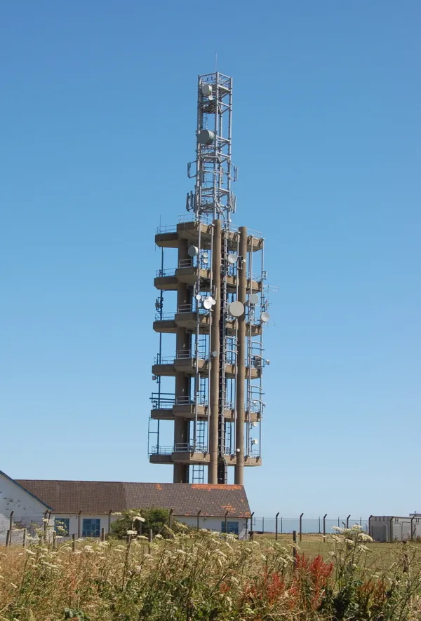 Tolsford Hill BT Tower Landmark, Lyminge19 km E
-
Brookhill Country Park Natural site, Kent19 km E
-
Oaklands Park Natural site, Kent20 km E
Sources & licences
Data last updated: