Tunbridge Wells District
Located in Kent, England Coordinates: 51°07′04″ N 0°23′26″ E
- Population
- 117,069
- 117.1K
- Elevation
- 99 m
- above sea level
- Local time
- UTC+00:00
- Europe/London · UTC+00:00
- Places inside
- 29
- listed under Tunbridge Wells District
About Tunbridge Wells District
Tunbridge Wells District is a municipality. Location: Kent, England. Population: 117,069. Elevation: 99 m.
In comparison
- No. 9 of 17 places in Kent by population
- Nearest larger town: Tonbridge and Malling District, 17 km N
- 26 sights and natural places within 10 km Parsonage Wood, Hayden Wood
- Listed here: Village: 16, Neighbourhood: 10, Mountain: 1, Natural site: 1
Places in Tunbridge Wells District
29 places- 68.9K
-
Rusthall Village5K
-
Benenden Village
-
Bidborough Village
-
Brenchley Village
-
Broadwater Down Neighbourhood
-
Camden Park Neighbourhood
-
Capel Village
-
Cranbrook Village
-
Denny Bottom Neighbourhood
-
Frittenden Village
-
Goudhurst Village
-
Hawkhurst Village
-
Horsmonden Village
-
Hurst Wood Natural site
-
Lamberhurst Village
-
Lower Green Neighbourhood
-
Nevill Park Neighbourhood
-
Paddock Wood Village
-
Pembury Village
-
Ramslye Neighbourhood
-
Sandhurst Village
-
Sandown Park Mountain
-
Sandown Park Neighbourhood
-
Sherwood Neighbourhood
-
Southborough Village
-
Speldhurst Village
-
St James Neighbourhood
-
St John's Neighbourhood
Nearby attractions & nature
Everything nearby-
River Bewl River, England3.6 km SE
-
Bell Water Lake, Ticehurst5.4 km S
-
Bedgebury Park Woods Natural site, England7 km SE
-
Dewhurst Down Mountain, Wadhurst7.3 km SW
-
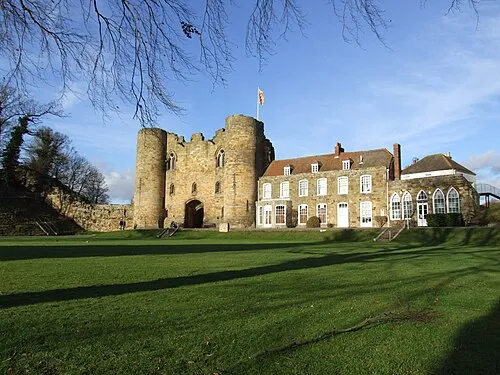 Tonbridge Castle Historic site, Tonbridge and Malling District12 km NW
-
Best Beech Hill Mountain, Wadhurst8.4 km SW
-
River Teise River, England7.5 km N
-
Frant Hill Mountain, Frant8.7 km W
Other cities and towns in Kent
-
Tonbridge and Malling District Municipality, Kent17 km N
-
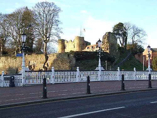 Tonbridge Town, Tonbridge and Malling District12 km NW
-
Maidstone Municipality, Kent20 km NE
-
Sevenoaks Municipality, Kent22 km NW
-
Pembury Town, Pembury5.6 km NW
-
Borough of Tonbridge and Malling Municipality, Kent19 km N
Sources & licences
Data last updated: