Tonbridge and Malling District
Located in Kent, England Coordinates: 51°16′16″ N 0°21′55″ E
- Population
- 127,293
- 127.3K
- Elevation
- 135 m
- above sea level
- Local time
- UTC+00:00
- Europe/London · UTC+00:00
- Places inside
- 40
- listed under Tonbridge and Malling District
About Tonbridge and Malling District
Tonbridge and Malling District is a municipality. Location: Kent, England. Population: 127,293. Elevation: 135 m.
In comparison
- No. 6 of 17 places in Kent by population
- Nearest larger town: Maidstone, 11 km E
- 15 sights and natural places within 10 km Hurst Hill, St Leonards Tower
- Listed here: Village: 30, Neighbourhood: 6, Historic site: 1, Island: 1
Places in Tonbridge and Malling District
40 places-
Tonbridge Town36.1K
-
Addington Village
-
Aylesford Village
-
Barden Lake Lake
-
Barden Park Neighbourhood
-
Birling Village
-
Borough Green Village
-
Brook Street Neighbourhood
-
Burham Village
-
Cage Green Neighbourhood
-
Ditton Village
-
East Malling and Larkfield Village
-
East Peckham Village
-
Hadlow Village
-
Hadlow Stair Neighbourhood
-
Higham Wood Village
-
Hildenborough Village
-
Ightham Village
-
Kings Hill Village
-
Leybourne Village
-
Lower Haysden Village
-
Mereworth Village
-
Offham Village
-
Parker's Green Village
-
Platt Village
-
Plaxtol Village
-
Ryarsh Village
-
Shipbourne Village
-
Snodland Village
-
Stansted Village
-
The Park Neighbourhood
-
Tinker's Island Island
-
Tonbridge Castle Historic site
-
Trench Wood Neighbourhood
-
Trottiscliffe Village
-
Wateringbury Village
-
West Malling Village
-
West Peckham Village
-
Wouldham Village
-
Wrotham Village
Nearby attractions & nature
Everything nearby-
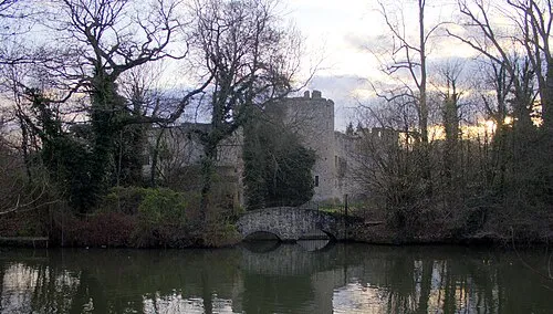 Allington Castle Historic site, Maidstone10 km E
-
Raspit Hill Mountain, Seal7.4 km W
-
River Medway at Yalding River, Yalding6.8 km SE
-
Yalding Gardens Attraction, Yalding7.7 km SE
-
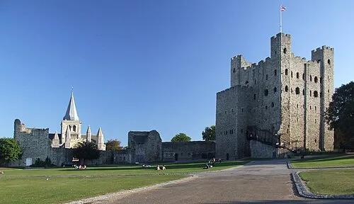 Rochester Castle Historic site, Medway16 km NE
-
River Beult River, Yalding7.5 km SE
-
Kemsing Castle Bank Historic site, Kemsing10 km NW
-
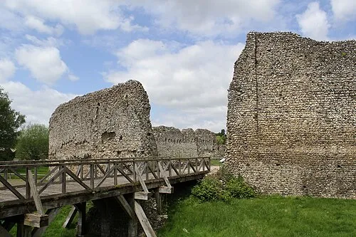 Eynsford Castle Historic site, Eynsford15 km NW
Sources & licences
Data last updated: