Dartford District
Located in Kent, England Coordinates: 51°26′02″ N 0°14′55″ E
- Population
- 105,543
- 105.5K
- Elevation
- 59 m
- above sea level
- Local time
- UTC+00:00
- Europe/London · UTC+00:00
- Places inside
- 22
- listed under Dartford District
About Dartford District
Dartford District is a municipality. Location: Kent, England. Population: 105,543. Elevation: 59 m.
In comparison
- No. 16 of 17 places in Kent by population
- Nearest larger town: Bexley, 7 km W
- 19 sights and natural places within 10 km Princes Park, Bluewater
- Listed here: Village: 9, Neighbourhood: 7, Landmark: 2, Natural site: 2
Places in Dartford District
22 places-
Dartford Town51.2K
-
Bean Village
-
Central Park Natural site
-
Central Park Gardens Attraction
-
Darenth Village
-
Dartford Heath Natural site
-
Dartford Marshes Neighbourhood
-
Fleet-Downs Neighbourhood
-
Heath Side Neighbourhood
-
Joyden's Wood Village
-
Longfield and New Barn Village
-
Long Reach Neighbourhood
-
Maypole Neighbourhood
-
New Town Neighbourhood
-
Princes Park Landmark
-
Southfleet Village
-
Stone Village
-
Sutton-at-Hone and Hawley Village
-
Swanscombe and Greenhithe Village
-
The Bridge Neighbourhood
-
Wilmington Village
Nearby attractions & nature
Everything nearby-
Dartford Bridge Landmark, Thurrock3.6 km N
-
380kV Thames Crossing, Tower North Landmark, Thurrock4.6 km NE
-
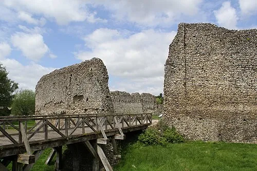 Eynsford Castle Historic site, Eynsford7.5 km S
-
Farningham Wood Mountain, Farningham5.6 km SW
-
River Darent River, England5.9 km N
-
Sandy Lane Pit Mountain, Thurrock8.1 km N
-
St Mary Cray Hockenden Historic site, Bromley7.4 km SW
-
 Victoria Road Landmark, Barking and Dagenham14 km NW
Other cities and towns in Kent
-
Borough of Gravesham Municipality, Kent8.1 km E
-
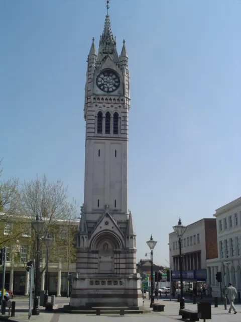 Gravesend Town, Borough of Gravesham8.6 km E
-
Stone Town, Stone2.1 km NE
-
Greenhithe Town, Swanscombe and Greenhithe3.1 km NE
-
Sevenoaks Municipality, Kent19 km S
-
Swanscombe Town, Swanscombe and Greenhithe4.5 km E
Sources & licences
Data last updated: